Channel & Berth Profile
Pilotage, Tugs & Services
Pilotage compulsoryYES
Potable waterYES
Diesel bunkersYES
MedicalYES
Facilities & Capabilities
Container—
Ro-Ro—
Liquid bulk—
Dry bulk—
Oil terminal—
Break bulk—
Dry dock—
RepairsNO
BunkeringYES
Rail linkYES
Dangerous cargo—
ISPS security—
Harbour Specifications
Harbour size
Very Small
Harbour type
Coastal (Natural)
Shelter
Good
Water body
Gulf of Mexico; North Atlantic Ocean
Overhead limit
Yes
Pilotage
Yes
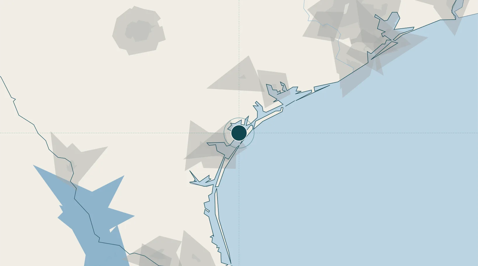
Location
Nearby Logistics Neighbours
Ports
- 1Port Aransas20 km
- 2Port Ingleside26 km
- 3Corpus Christi41 km
- 4Port Lavaca79 km
- 5Palacios110 km
Cities
- 1Aransas Pass16 km
- 2Harbor Island17 km
- 3Ingleside22 km
- 4Gregory26 km
- 5Portland31 km
Airports
Trade Zones
- 1FTZ No. 122 Corpus Christi41 km
- 2FTZ No. 149 Freeport188 km
- 3FTZ No. 156 Weslaco228 km
- 4FTZ No. 157 Casper228 km
- 5FTZ No. 080 San Antonio236 km
DatabookThe Record of Consolidated Knowledge
United States beyond logistics?