Medium airport · United States

Victoria Regional AirportKVCT
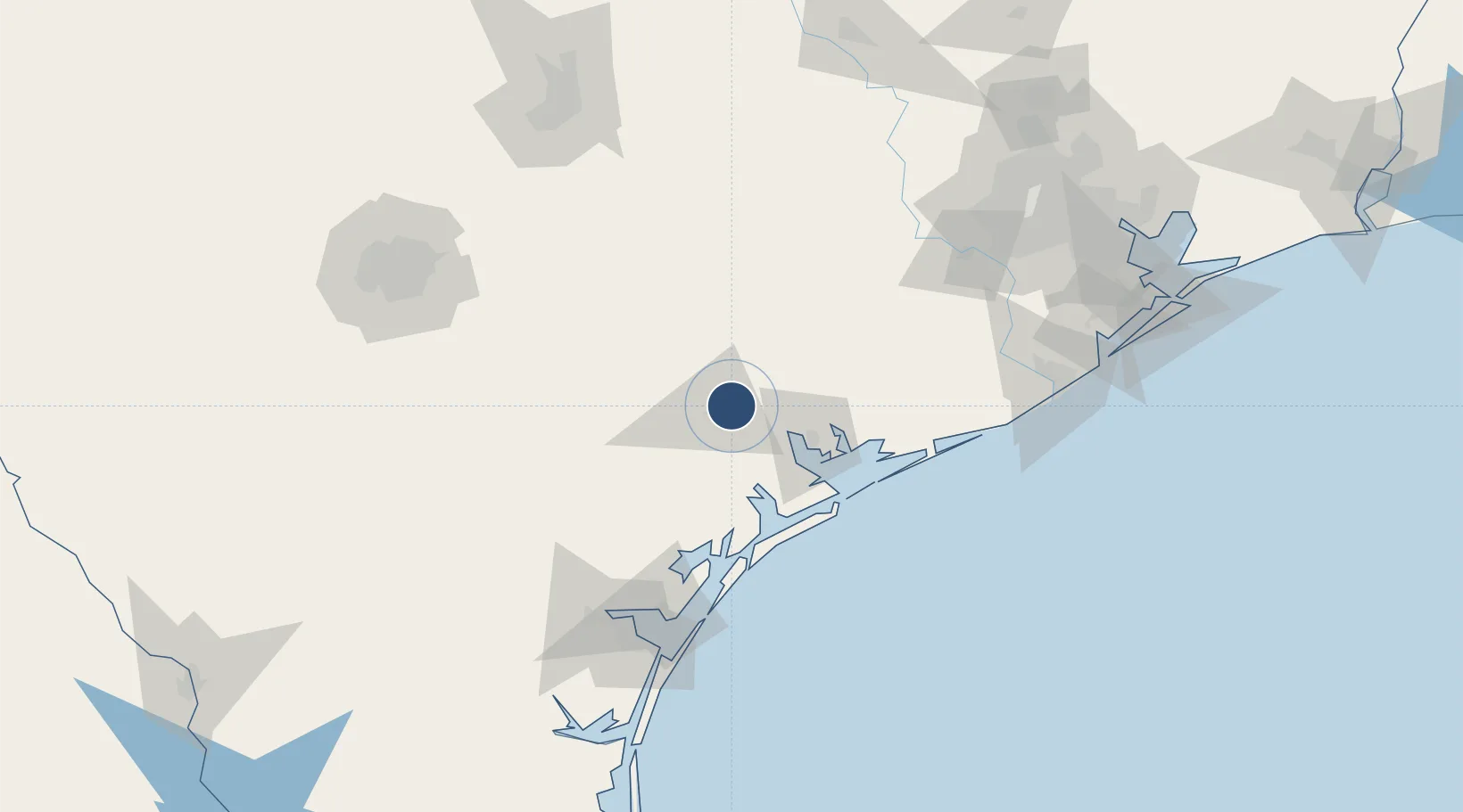
28.8526°, -96.9185°
9,111 ft
Longest runway
2
Runways
115 ft
Elevation

Runway & Layout

Victoria Regional Airport runway & taxiway layout
Runway & taxiway layout — OpenStreetMap (ODbL) / OurAirports

Radio Frequencies

ASOS
119.025 MHz
CNTR
135.05 MHz
HOUSTON CNTR
RDO
122.2 MHz
MONTGOMERY CO RDO
UNIC
122.7 MHz
CTAF/UNICOM
OurAirports

Navaids

VC NDB Fostr 226 kHz
VCT VOR-DME Victoria 109.00 MHz
OurAirports

Runways · 2

RunwayDimensions SurfaceTrue headingLit
13/31 9,111 × 150ft Asphalt 132°
18/36 4,908 × 75ft Asphalt 180°
OurAirports

Airport Specifications

IATA code
VCT
OurAirports
ICAO code
KVCT
OurAirports
Airport class
Medium airport
OurAirports
Scheduled service
Yes
OurAirports
Runway surface
Asphalt
OurAirports
Served city
Victoria
OurAirports

Location

Location of KVCT
Natural Earth 10m (public domain) · Texas · KVCT · 28.85, -96.92GoogleOSMYandex

Nearby Logistics Neighbours

Airports
  1. 1Corpus Christi International Airport133 km
  2. 2Naval Air Station Corpus Christi Truax Field134 km
  3. 3New Braunfels National Airport144 km
  4. 4Texas Gulf Coast Regional Airport145 km
  5. 5San Marcos Regional Airport148 km
Nearest neighbours — logibook spatial index (haversine) over the source coordinates
Cities
  1. 1Lolita38 km
  2. 2Port Lavaca41 km
  3. 3Cuero44 km
  4. 4Yoakum53 km
  5. 5Midfield71 km
Nearest neighbours — logibook spatial index (haversine) over the source coordinates
Ports
  1. 1Port Lavaca39 km
  2. 2Palacios71 km
  3. 3Rockport94 km
  4. 4Port Aransas114 km
  5. 5Port Ingleside118 km
Nearest neighbours — logibook spatial index (haversine) over the source coordinates
Trade Zones
  1. 1FTZ No. 122 Corpus Christi125 km
  2. 2FTZ No. 149 Freeport145 km
  3. 3FTZ No. 183 Austin176 km
  4. 4FTZ No. 084 Harris County189 km
  5. 5FTZ No. 080 San Antonio195 km
Nearest neighbours — logibook spatial index (haversine) over the source coordinates
DatabookThe Record of Consolidated Knowledge
United States beyond logistics?
Browse databook

All Sources

AirportsOurAirports
Public domain
Portsthe NGA World Port Index
Public domain (US gov)
LocationsUN/LOCODE
UN/LOCODE — free
Trade Zonesthe World Bank SEZ database
CC BY 4.0
Trade ZonesOpen Zone Map
CC BY
InfrastructureOpenStreetMap
ODbL 1.0
← United States airports