Foreign Trade Zone · United States

FTZ No. 149 Freeport Active
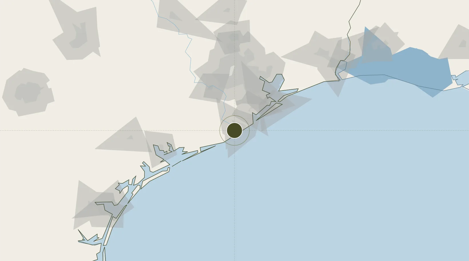
28.9428°, -95.4382°
10.2 km
Nearest port
18.6 km
Nearest airport

Gateway access

Nearest neighbours — logibook spatial index (haversine) over the source coordinates

Zone profile

Zone type
Foreign Trade Zone
Open Zone Map
Region
Texas
Open Zone Map
Status
Active
Open Zone Map
Management
Public
Open Zone Map
Operator
Port Freeport
Open Zone Map
Legal framework
Foreign-Trade Zones Act
Open Zone Map

Location

Location of ozm-4770
Natural Earth 10m (public domain) · Texas · ozm-4770 · 28.94, -95.44GoogleOSMYandex

Nearby Logistics Neighbours

Ports
  1. 1Freeport10 km
  2. 2Texas City71 km
  3. 3Galveston76 km
  4. 4Palacios81 km
  5. 5Pasadena89 km
Nearest neighbours — logibook spatial index (haversine) over the source coordinates
Airports
  1. 1Texas Gulf Coast Regional Airport19 km
  2. 2Scholes International At Galveston Airport67 km
  3. 3Sugar Land Regional Airport79 km
  4. 4Ellington Airport79 km
  5. 5William P. Hobby Airport80 km
Nearest neighbours — logibook spatial index (haversine) over the source coordinates
Cities
  1. 1Freeport8 km
  2. 2Clute9 km
  3. 3Angleton25 km
  4. 4West Columbia31 km
  5. 5Danbury32 km
Nearest neighbours — logibook spatial index (haversine) over the source coordinates
Trade Zones
  1. 1FTZ No. 199 Texas City71 km
  2. 2FTZ No. 036 Galveston74 km
  3. 3FTZ No. 084 Harris County96 km
  4. 4FTZ No. 171 Liberty County143 km
  5. 5FTZ No. 116 Port Arthur163 km
Nearest neighbours — logibook spatial index (haversine) over the source coordinates
DatabookThe Record of Consolidated Knowledge
United States beyond logistics?
Browse databook

All Sources

Trade ZonesOpen Zone Map
CC BY
Portsthe NGA World Port Index
Public domain (US gov)
AirportsOurAirports
Public domain
LocationsUN/LOCODE
UN/LOCODE — free
← United States trade zones