Medium airport · United States

Sugar Land Regional AirportKSGR
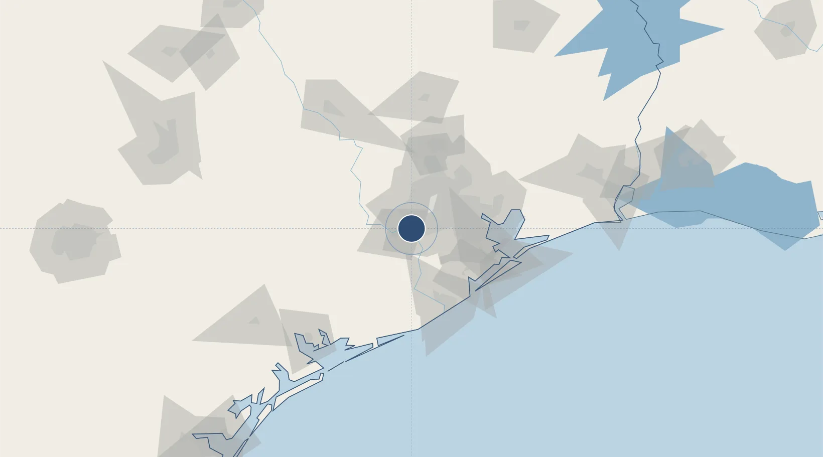
29.6223°, -95.6565°
8,000 ft
Longest runway
1
Runways
82 ft
Elevation

Runway & Layout

Sugar Land Regional Airport runway & taxiway layout
Runway & taxiway layout — OpenStreetMap (ODbL) / OurAirports

Radio Frequencies

ASOS
118.125 MHz
TWR
118.65 MHz
GND
121.4 MHz
GND/CLNC DEL
CTAF
118.65 MHz
A/D
123.8 MHz
HOUSTON APP/DEP
UNIC
122.95 MHz
UNICOM
OurAirports

Runways · 1

RunwayDimensions SurfaceTrue headingLit
17/35 8,000 × 100ft Concrete 175°
OurAirports

Airport Specifications

IATA code
SGR
OurAirports
ICAO code
KSGR
OurAirports
Airport class
Medium airport
OurAirports
Scheduled service
No
OurAirports
Runway surface
Concrete
OurAirports
Served city
Houston
OurAirports

Location

Location of KSGR
Natural Earth 10m (public domain) · Texas · KSGR · 29.62, -95.66GoogleOSMYandex

Nearby Logistics Neighbours

Airports
  1. 1William P. Hobby Airport37 km
  2. 2Ellington Airport48 km
  3. 3George Bush Intercontinental Airport51 km
  4. 4Texas Gulf Coast Regional Airport60 km
  5. 5Conroe-North Houston Regional Airport84 km
Nearest neighbours — logibook spatial index (haversine) over the source coordinates
Cities
  1. 1Sugar Land3 km
  2. 2Missouri City14 km
  3. 3Rosenberg16 km
  4. 4Fulshear23 km
  5. 5Fresno23 km
Nearest neighbours — logibook spatial index (haversine) over the source coordinates
Ports
  1. 1Deer Park34 km
  2. 2Houston39 km
  3. 3Pasadena44 km
  4. 4Baytown63 km
  5. 5Texas City76 km
Nearest neighbours — logibook spatial index (haversine) over the source coordinates
Trade Zones
  1. 1FTZ No. 084 Harris County39 km
  2. 2FTZ No. 199 Texas City75 km
  3. 3FTZ No. 149 Freeport79 km
  4. 4FTZ No. 171 Liberty County84 km
  5. 5FTZ No. 036 Galveston90 km
Nearest neighbours — logibook spatial index (haversine) over the source coordinates
DatabookThe Record of Consolidated Knowledge
United States beyond logistics?
Browse databook

All Sources

AirportsOurAirports
Public domain
Portsthe NGA World Port Index
Public domain (US gov)
LocationsUN/LOCODE
UN/LOCODE — free
Trade Zonesthe World Bank SEZ database
CC BY 4.0
Trade ZonesOpen Zone Map
CC BY
InfrastructureOpenStreetMap
ODbL 1.0
← United States airports