Medium airport · United States
Naval Air Station Corpus Christi Truax FieldKNGP
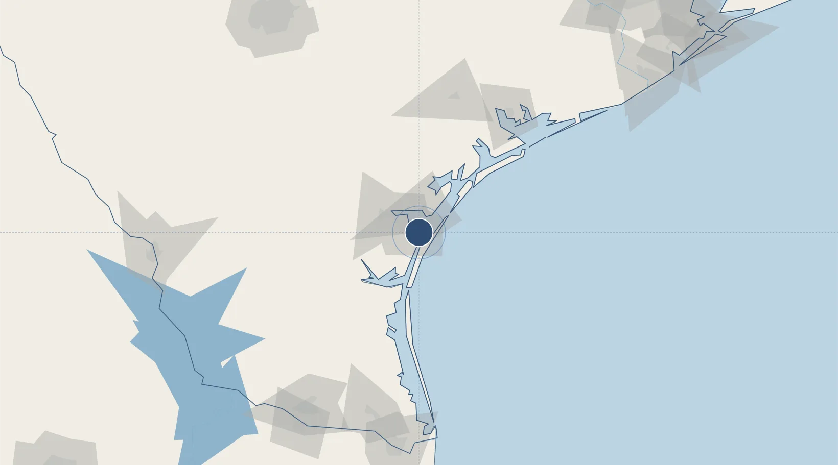
27.6926°, -97.2911°
8,001 ft
Longest runway
4
Runways
18 ft
Elevation
Runway & Layout

Radio Frequencies
ATIS
114 MHz
TWR
134.85 MHz
NAVY CORPUS TWR
GND
118.7 MHz
NAVY CORPUS GND
CLD
31.43 MHz
NAVY CORPUS CLNC DEL
APP
120.9 MHz
DEP
125.4 MHz
MISC
38.18 MHz
AIR
OPS
34.665 MHz
BASE OPS
PMSV
34.35 MHz
PMSV METRO
Navaids
CRP VORTAC Corpus Christi 115.50 MHz
NGP VORTAC Truax 114.00 MHz
Runways · 4
| Runway | Dimensions | Surface | True heading | Lit |
|---|---|---|---|---|
| 13R/31L | 8,001 × 200ft | Asphalt / concrete | 135° | ✓ |
| 17/35 | 5,003 × 200ft | Asphalt | 180° | ✓ |
| 13L/31R | 5,002 × 220ft | Asphalt | 135° | ✓ |
| 04/22 | 5,001 × 200ft | Asphalt | 045° | ✓ |
Airport Specifications
IATA code
NGP
ICAO code
KNGP
Airport class
Medium airport
Scheduled service
No
Runway surface
Asphalt / concrete
Served city
Corpus Christi
Location
Nearby Logistics Neighbours
Airports
Cities
- 1Portland20 km
- 2Ingleside21 km
- 3Gregory25 km
- 4Aransas Pass27 km
- 5Harbor Island29 km
Ports
- 1Port Ingleside17 km
- 2Corpus Christi18 km
- 3Port Aransas28 km
- 4Rockport43 km
- 5Port Lavaca122 km
Trade Zones
- 1FTZ No. 122 Corpus Christi17 km
- 2FTZ No. 156 Weslaco186 km
- 3FTZ No. 157 Casper186 km
- 4FTZ No. 062 Brownsville194 km
- 5FTZ No. 012 McAllen197 km
DatabookThe Record of Consolidated Knowledge
United States beyond logistics?