Foreign Trade Zone · United States

FTZ No. 199 Texas City Active
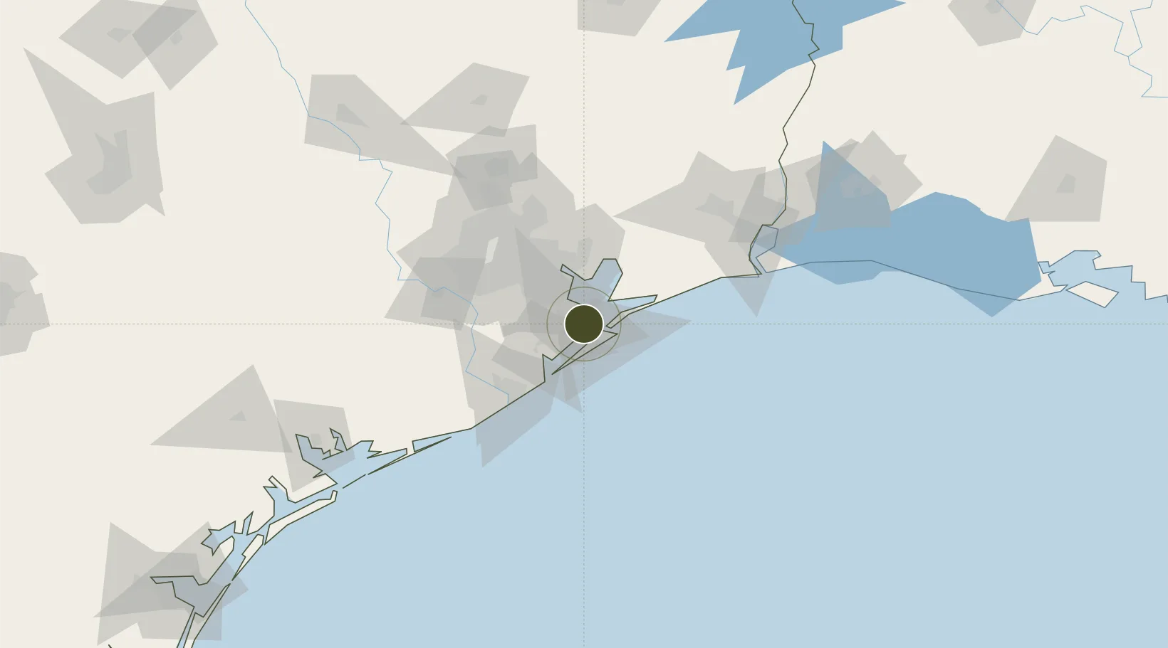
29.3923°, -94.9242°
1.2 km
Nearest port
15.4 km
Nearest airport

Gateway access

Nearest neighbours — logibook spatial index (haversine) over the source coordinates

Zone profile

Zone type
Foreign Trade Zone
Open Zone Map
Region
Texas
Open Zone Map
Status
Active
Open Zone Map
Management
Public-Private Partnership
Open Zone Map
Operator
Texas City Foreign-Trade Zone Corp.
Open Zone Map
Legal framework
Foreign-Trade Zones Act
Open Zone Map

Location

Location of ozm-4881
Natural Earth 10m (public domain) · Texas · ozm-4881 · 29.39, -94.92GoogleOSMYandex

Nearby Logistics Neighbours

Ports
  1. 1Texas City1 km
  2. 2Galveston16 km
  3. 3Baytown39 km
  4. 4Pasadena46 km
  5. 5Houston53 km
Nearest neighbours — logibook spatial index (haversine) over the source coordinates
Airports
  1. 1Scholes International At Galveston Airport15 km
  2. 2Ellington Airport33 km
  3. 3William P. Hobby Airport44 km
  4. 4Texas Gulf Coast Regional Airport61 km
  5. 5Sugar Land Regional Airport75 km
Nearest neighbours — logibook spatial index (haversine) over the source coordinates
Cities
  1. 1Texas City1 km
  2. 2Port Bolivar17 km
  3. 3Santa Fe17 km
  4. 4Kemah18 km
  5. 5League City20 km
Nearest neighbours — logibook spatial index (haversine) over the source coordinates
Trade Zones
  1. 1FTZ No. 036 Galveston15 km
  2. 2FTZ No. 084 Harris County59 km
  3. 3FTZ No. 149 Freeport71 km
  4. 4FTZ No. 171 Liberty County90 km
  5. 5FTZ No. 116 Port Arthur93 km
Nearest neighbours — logibook spatial index (haversine) over the source coordinates
DatabookThe Record of Consolidated Knowledge
United States beyond logistics?
Browse databook

All Sources

Trade ZonesOpen Zone Map
CC BY
Portsthe NGA World Port Index
Public domain (US gov)
AirportsOurAirports
Public domain
LocationsUN/LOCODE
UN/LOCODE — free
← United States trade zones