Channel & Berth Profile
Pilotage, Tugs & Services
Pilotage compulsoryYES
Pilotage availableYES
Tug assistanceYES
Shore powerYES
Potable waterYES
Diesel bunkersYES
MedicalYES
Facilities & Capabilities
Container—
Ro-Ro—
Liquid bulk—
Dry bulk—
Oil terminal—
Break bulk—
Dry dock—
RepairsNO
BunkeringYES
Rail link—
Dangerous cargo—
ISPS security—
Harbour Specifications
Harbour size
Very Small
Harbour type
Coastal (Natural)
Shelter
Good
Water body
Gulf of Mexico; North Atlantic Ocean
Tidal range
0.3 m
Overhead limit
Yes
Pilotage
Yes
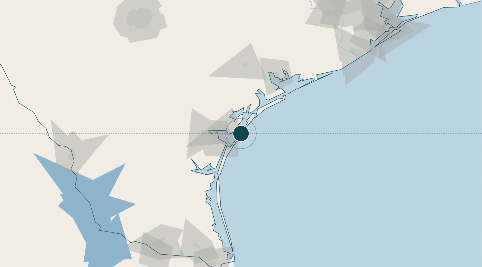
Location
Nearby Logistics Neighbours
Ports
- 1Port Ingleside13 km
- 2Rockport20 km
- 3Corpus Christi35 km
- 4Port Lavaca97 km
- 5Palacios125 km
Cities
- 1Harbor Island4 km
- 2Ingleside15 km
- 3Gregory25 km
- 4Portland27 km
- 5Sinton50 km
Airports
Trade Zones
- 1FTZ No. 122 Corpus Christi34 km
- 2FTZ No. 149 Freeport200 km
- 3FTZ No. 156 Weslaco210 km
- 4FTZ No. 157 Casper210 km
- 5FTZ No. 062 Brownsville212 km
DatabookThe Record of Consolidated Knowledge
United States beyond logistics?