Foreign Trade Zone · United States

FTZ No. 084 Harris County Active
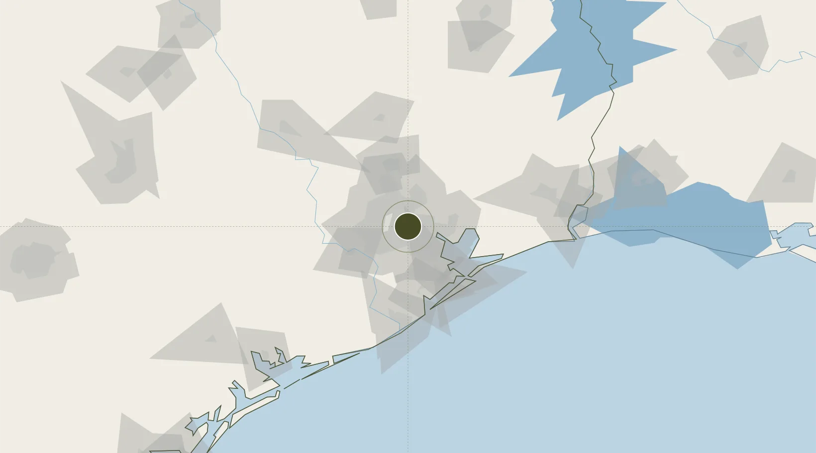
29.8015°, -95.3053°
6.1 km
Nearest port
17.6 km
Nearest airport

Gateway access

Nearest neighbours — logibook spatial index (haversine) over the source coordinates

Zone profile

Zone type
Foreign Trade Zone
Open Zone Map
Region
Texas
Open Zone Map
Status
Active
Open Zone Map
Management
Public
Open Zone Map
Operator
Port of Houston Authority
Open Zone Map
Legal framework
Foreign-Trade Zones Act
Open Zone Map

Location

Location of ozm-4772
Natural Earth 10m (public domain) · Texas · ozm-4772 · 29.80, -95.31GoogleOSMYandex

Nearby Logistics Neighbours

Ports
  1. 1Houston6 km
  2. 2Deer Park6 km
  3. 3Pasadena13 km
  4. 4Baytown29 km
  5. 5Texas City60 km
Nearest neighbours — logibook spatial index (haversine) over the source coordinates
Airports
  1. 1William P. Hobby Airport18 km
  2. 2George Bush Intercontinental Airport21 km
  3. 3Ellington Airport26 km
  4. 4Sugar Land Regional Airport39 km
  5. 5Conroe-North Houston Regional Airport62 km
Nearest neighbours — logibook spatial index (haversine) over the source coordinates
Cities
  1. 1Englewood Yard2 km
  2. 2Houston7 km
  3. 3Jacinto City8 km
  4. 4South Houston18 km
  5. 5Spring Valley19 km
Nearest neighbours — logibook spatial index (haversine) over the source coordinates
Trade Zones
  1. 1FTZ No. 171 Liberty County48 km
  2. 2FTZ No. 199 Texas City59 km
  3. 3FTZ No. 036 Galveston74 km
  4. 4FTZ No. 149 Freeport96 km
  5. 5FTZ No. 115 Beaumont111 km
Nearest neighbours — logibook spatial index (haversine) over the source coordinates
DatabookThe Record of Consolidated Knowledge
United States beyond logistics?
Browse databook

All Sources

Trade ZonesOpen Zone Map
CC BY
Portsthe NGA World Port Index
Public domain (US gov)
AirportsOurAirports
Public domain
LocationsUN/LOCODE
UN/LOCODE — free
← United States trade zones