Foreign Trade Zone · United States

FTZ No. 036 Galveston Active
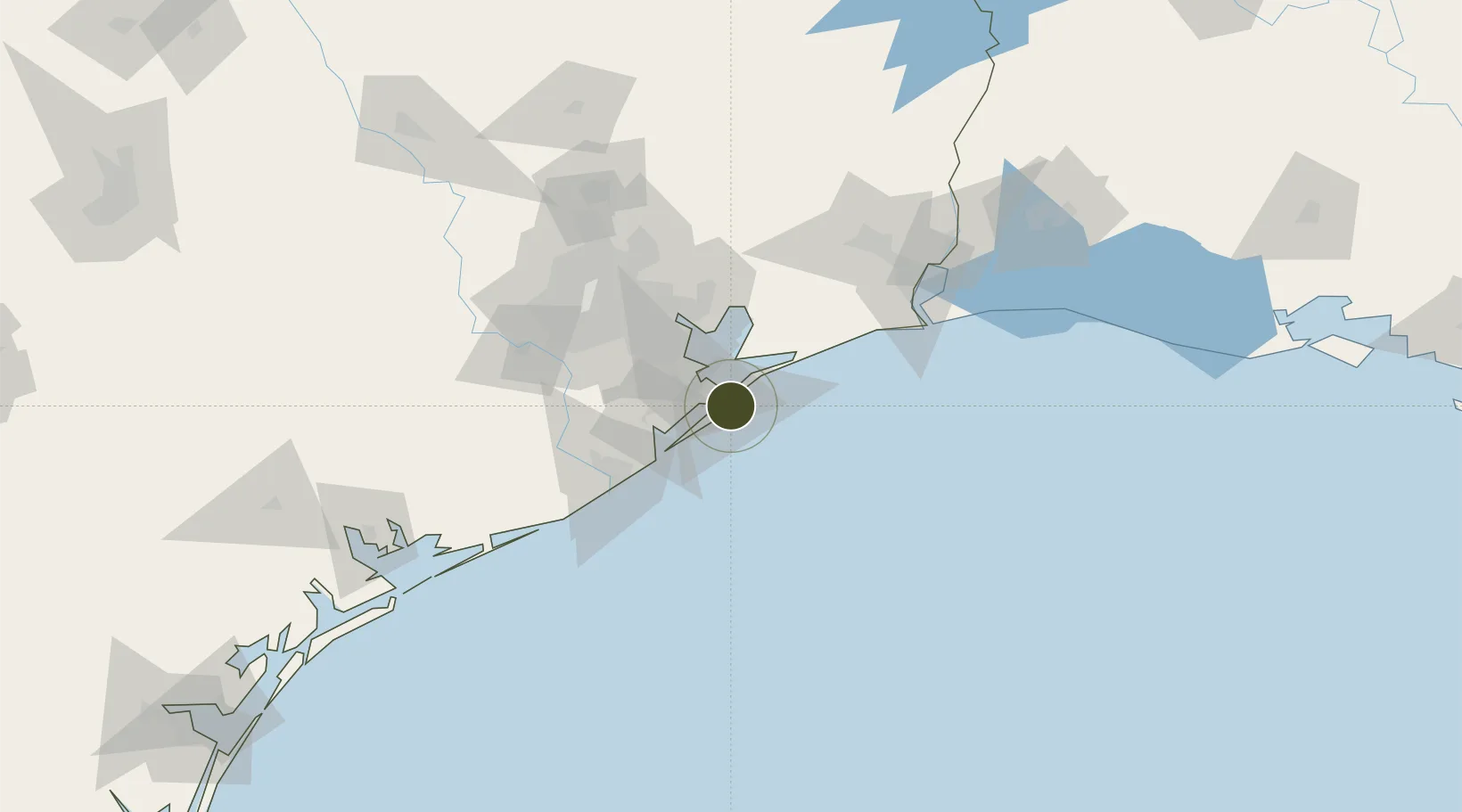
29.3066°, -94.7993°
1.9 km
Nearest port
7.5 km
Nearest airport

Gateway access

Nearest neighbours — logibook spatial index (haversine) over the source coordinates

Zone profile

Zone type
Foreign Trade Zone
Open Zone Map
Region
Texas
Open Zone Map
Status
Active
Open Zone Map
Management
Public
Open Zone Map
Operator
Board of Trustees of the Galveston Wharves
Open Zone Map
Legal framework
Foreign-Trade Zones Act
Open Zone Map

Location

Location of ozm-4759
Natural Earth 10m (public domain) · Texas · ozm-4759 · 29.31, -94.80GoogleOSMYandex

Nearby Logistics Neighbours

Ports
  1. 1Galveston2 km
  2. 2Texas City14 km
  3. 3Baytown52 km
  4. 4Pasadena61 km
  5. 5Freeport65 km
Nearest neighbours — logibook spatial index (haversine) over the source coordinates
Airports
  1. 1Scholes International At Galveston Airport8 km
  2. 2Ellington Airport48 km
  3. 3William P. Hobby Airport60 km
  4. 4Texas Gulf Coast Regional Airport68 km
  5. 5Sugar Land Regional Airport90 km
Nearest neighbours — logibook spatial index (haversine) over the source coordinates
Cities
  1. 1Port Bolivar8 km
  2. 2Texas City16 km
  3. 3Santa Fe30 km
  4. 4Kemah33 km
  5. 5League City35 km
Nearest neighbours — logibook spatial index (haversine) over the source coordinates
Trade Zones
  1. 1FTZ No. 199 Texas City15 km
  2. 2FTZ No. 084 Harris County74 km
  3. 3FTZ No. 149 Freeport74 km
  4. 4FTZ No. 116 Port Arthur89 km
  5. 5FTZ No. 171 Liberty County102 km
Nearest neighbours — logibook spatial index (haversine) over the source coordinates
DatabookThe Record of Consolidated Knowledge
United States beyond logistics?
Browse databook

All Sources

Trade ZonesOpen Zone Map
CC BY
Portsthe NGA World Port Index
Public domain (US gov)
AirportsOurAirports
Public domain
LocationsUN/LOCODE
UN/LOCODE — free
← United States trade zones