Transport Functions
Rail
Road
Hub Profile
Place type
Populated place
Region
Texas
Time zone
America/Chicago
Elevation
14 m
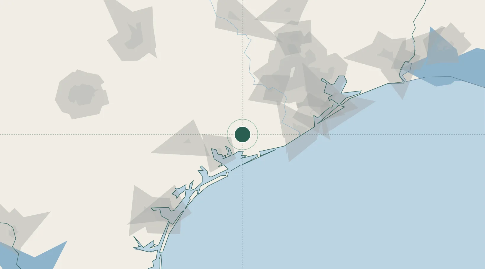
Location
Nearby Logistics Neighbours
Cities
- 1Markham15 km
- 2El Campo29 km
- 3Lolita34 km
- 4Hungerford53 km
- 5Port Lavaca55 km
Ports
- 1Palacios28 km
- 2Port Lavaca54 km
- 3Freeport84 km
- 4Deer Park124 km
- 5Houston127 km
Airports
- 1Victoria Regional Airport71 km
- 2Texas Gulf Coast Regional Airport74 km
- 3Sugar Land Regional Airport93 km
- 4William P. Hobby Airport120 km
- 5Ellington Airport126 km
Trade Zones
- 1FTZ No. 149 Freeport74 km
- 2FTZ No. 084 Harris County130 km
- 3FTZ No. 199 Texas City134 km
- 4FTZ No. 036 Galveston142 km
- 5FTZ No. 122 Corpus Christi171 km
DatabookThe Record of Consolidated Knowledge
United States beyond logistics?