Foreign Trade Zone · United States

FTZ No. 122 Corpus Christi Active
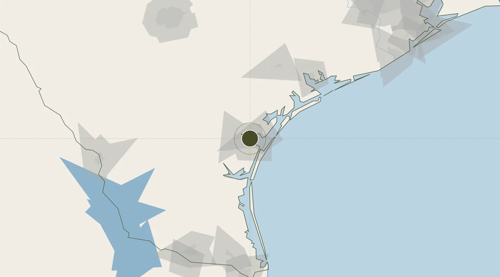
27.8111°, -97.3993°
0.6 km
Nearest port
11.0 km
Nearest airport

Gateway access

Nearest neighbours — logibook spatial index (haversine) over the source coordinates

Zone profile

Zone type
Foreign Trade Zone
Open Zone Map
Region
Texas
Open Zone Map
Status
Active
Open Zone Map
Management
Public
Open Zone Map
Operator
Port of Corpus Christi Authority
Open Zone Map
Legal framework
Foreign-Trade Zones Act
Open Zone Map

Location

Location of ozm-4790
Natural Earth 10m (public domain) · Texas · ozm-4790 · 27.81, -97.40GoogleOSMYandex

Nearby Logistics Neighbours

Ports
  1. 1Corpus Christi1 km
  2. 2Port Ingleside21 km
  3. 3Port Aransas34 km
  4. 4Rockport41 km
  5. 5Port Lavaca118 km
Nearest neighbours — logibook spatial index (haversine) over the source coordinates
Airports
  1. 1Corpus Christi International Airport11 km
  2. 2Naval Air Station Corpus Christi Truax Field17 km
  3. 3Kingsville Naval Air Station53 km
  4. 4Alice International Airport62 km
  5. 5Victoria Regional Airport125 km
Nearest neighbours — logibook spatial index (haversine) over the source coordinates
Cities
  1. 1Portland10 km
  2. 2Gregory16 km
  3. 3Ingleside21 km
  4. 4Odem24 km
  5. 5Aransas Pass26 km
Nearest neighbours — logibook spatial index (haversine) over the source coordinates
Trade Zones
  1. 1FTZ No. 156 Weslaco194 km
  2. 2FTZ No. 157 Casper194 km
  3. 3FTZ No. 012 McAllen204 km
  4. 4FTZ No. 094 Laredo206 km
  5. 5FTZ No. 062 Brownsville207 km
Nearest neighbours — logibook spatial index (haversine) over the source coordinates
DatabookThe Record of Consolidated Knowledge
United States beyond logistics?
Browse databook

All Sources

Trade ZonesOpen Zone Map
CC BY
Portsthe NGA World Port Index
Public domain (US gov)
AirportsOurAirports
Public domain
LocationsUN/LOCODE
UN/LOCODE — free
← United States trade zones