Transport Functions
Rail
Road
Hub Profile
Place type
Populated place
Region
Texas
Population
1,082
Time zone
America/Chicago
Elevation
17 m
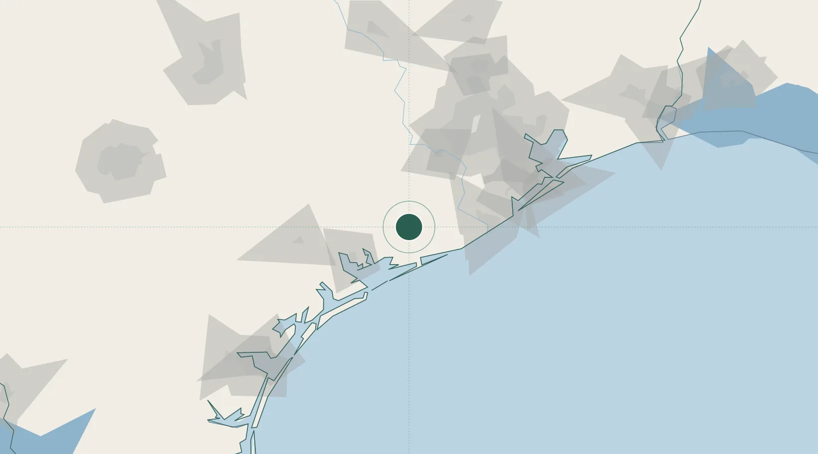
Location
Nearby Logistics Neighbours
Cities
- 1Midfield15 km
- 2El Campo33 km
- 3West Columbia45 km
- 4Lolita49 km
- 5Hungerford50 km
Ports
- 1Palacios34 km
- 2Port Lavaca67 km
- 3Freeport70 km
- 4Deer Park113 km
- 5Houston116 km
Airports
- 1Texas Gulf Coast Regional Airport60 km
- 2Sugar Land Regional Airport84 km
- 3Victoria Regional Airport85 km
- 4William P. Hobby Airport108 km
- 5Ellington Airport113 km
Trade Zones
- 1FTZ No. 149 Freeport60 km
- 2FTZ No. 084 Harris County119 km
- 3FTZ No. 199 Texas City120 km
- 4FTZ No. 036 Galveston128 km
- 5FTZ No. 171 Liberty County166 km
DatabookThe Record of Consolidated Knowledge
United States beyond logistics?