UN/LOCODE hub · United States
USPLV
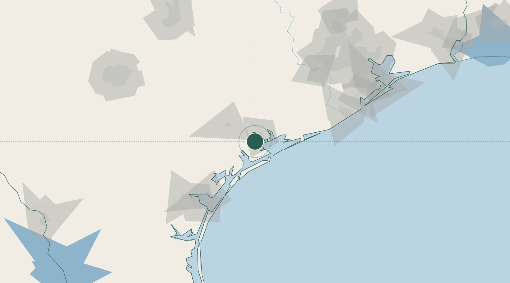
Port Lavaca
28.6000°, -96.6167°
12,416
Population
2
Transport functions
Transport Functions
Port
Road
Hub Profile
Place type
Provincial seat
Region
Texas
Population
12,416
Time zone
America/Chicago
Elevation
4 m
Location
Nearby Logistics Neighbours
Ports
- 1Palacios40 km
- 2Rockport78 km
- 3Port Aransas95 km
- 4Port Ingleside103 km
- 5Corpus Christi116 km
Airports
Trade Zones
- 1FTZ No. 122 Corpus Christi117 km
- 2FTZ No. 149 Freeport121 km
- 3FTZ No. 084 Harris County185 km
- 4FTZ No. 199 Texas City187 km
- 5FTZ No. 036 Galveston194 km
DatabookThe Record of Consolidated Knowledge
United States beyond logistics?