Seaport · United States
Corpus ChristiUSCRP
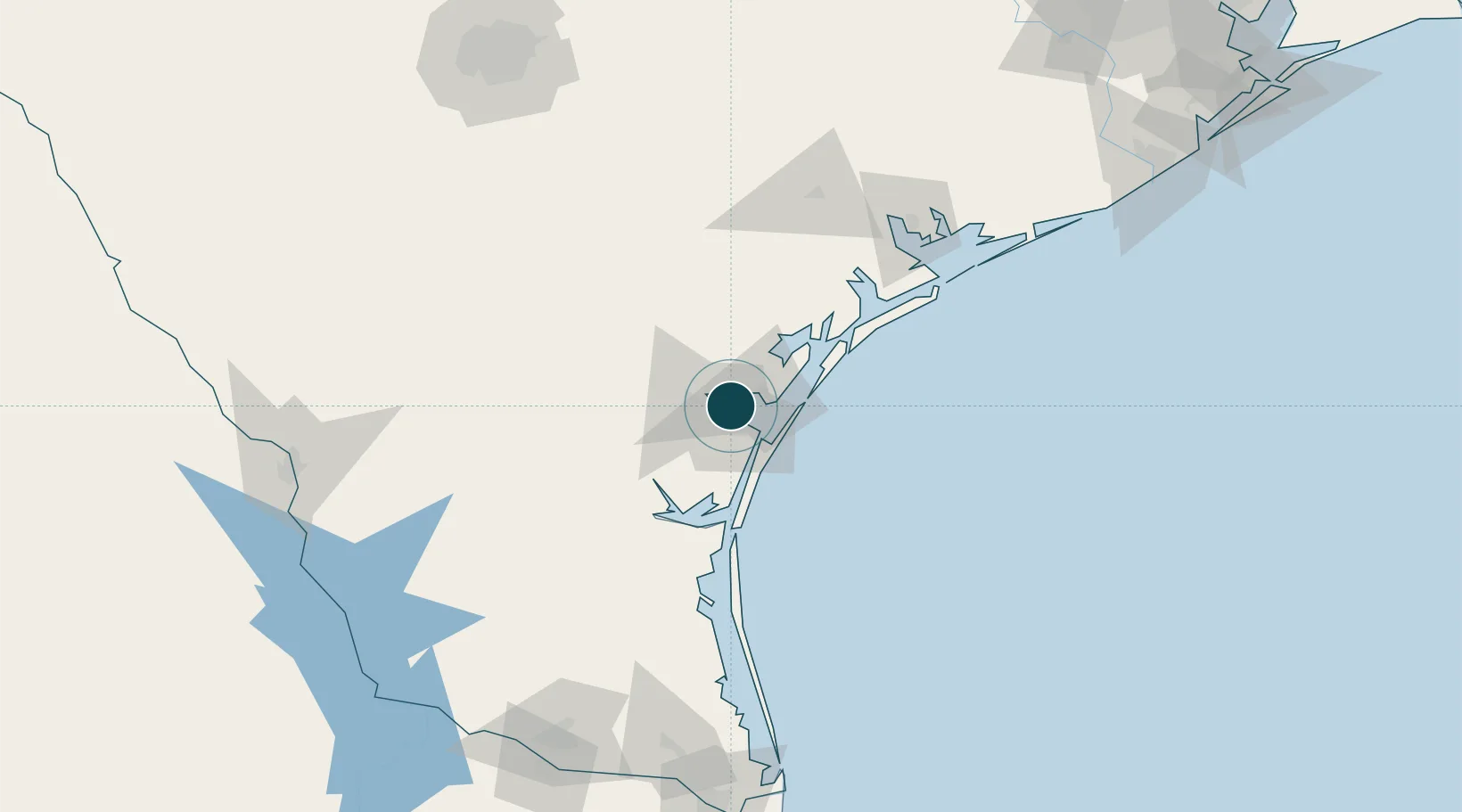
27.8167°, -97.4000°
14.0 m
Channel depth
16.7
Port liner connectivity
Channel & Berth Profile
Pilotage, Tugs & Services
Pilotage compulsoryYES
Pilotage availableYES
Pilotage advisableYES
Tug assistanceYES
Salvage tugsYES
Shore powerYES
Potable waterYES
Diesel bunkersYES
MedicalYES
Garbage disposalYES
Facilities & Capabilities
Container—
Ro-Ro—
Liquid bulk—
Dry bulk—
Oil terminal—
Break bulk—
Dry dockNO
RepairsNO
BunkeringYES
Rail linkYES
Dangerous cargo—
ISPS security—
Harbour Specifications
Harbour size
Medium
Harbour type
Coastal (Natural)
Shelter
Good
Water body
Gulf of Mexico; North Atlantic Ocean
Overhead limit
Yes
Pilotage
Yes
Liner Connectivity
16.7
PLSCI
Port Liner Shipping Connectivity Index for Corpus Christi, as published by UNCTAD for the latest available quarter. Higher values indicate stronger scheduled liner-shipping integration.
Shown relative to the highest per-port PLSCI in the dataset (1,657.9).
Location
Nearby Logistics Neighbours
Ports
- 1Port Ingleside21 km
- 2Port Aransas35 km
- 3Rockport41 km
- 4Port Lavaca118 km
- 5Palacios151 km
Airports
Trade Zones
- 1FTZ No. 122 Corpus Christi1 km
- 2FTZ No. 156 Weslaco195 km
- 3FTZ No. 157 Casper195 km
- 4FTZ No. 012 McAllen204 km
- 5FTZ No. 094 Laredo206 km
DatabookThe Record of Consolidated Knowledge
United States beyond logistics?