Medium airport · United States

Corpus Christi International AirportKCRP
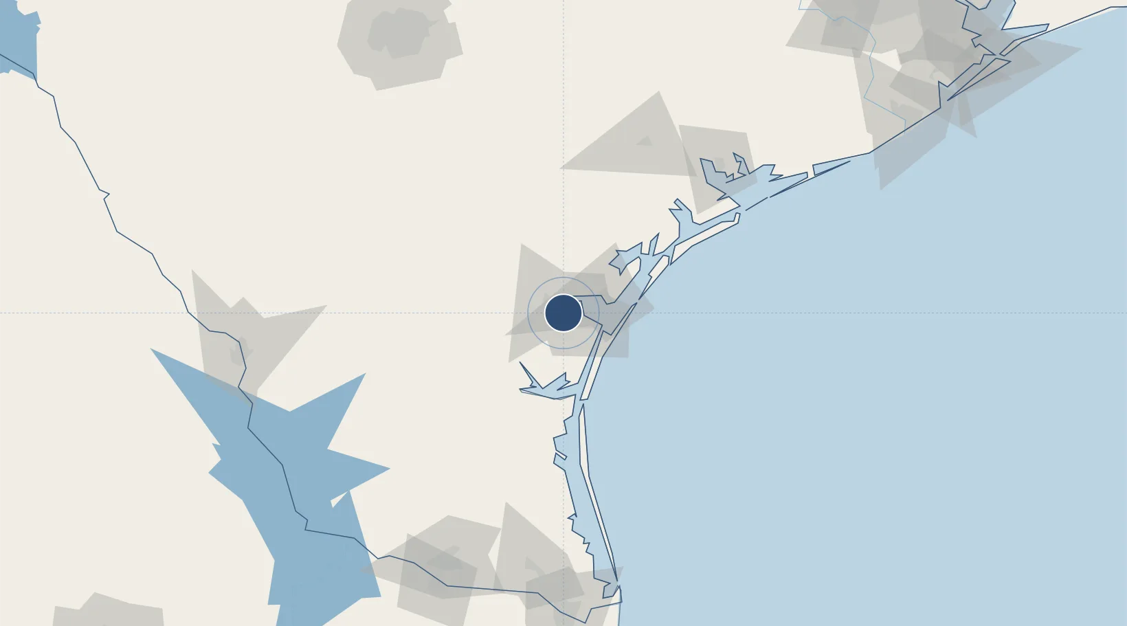
27.7704°, -97.5012°
7,510 ft
Longest runway
2
Runways
44 ft
Elevation

Runway & Layout

Corpus Christi International Airport runway & taxiway layout
Runway & taxiway layout — OpenStreetMap (ODbL) / OurAirports

Radio Frequencies

ATIS
126.8 MHz
TWR
119.4 MHz
GND
121.9 MHz
CLD
118.55 MHz
CLNC DEL
A/D
120.9 MHz
APP/DEP
RDO
122.65 MHz
SAN ANGELO RDO
UNIC
122.95 MHz
UNICOM
OurAirports

Runways · 2

RunwayDimensions SurfaceTrue headingLit
13/31 7,510 × 150ft Asphalt 136°
17/35 6,080 × 150ft Asphalt 179°
OurAirports

Airport Specifications

IATA code
CRP
OurAirports
ICAO code
KCRP
OurAirports
Airport class
Medium airport
OurAirports
Scheduled service
Yes
OurAirports
Runway surface
Asphalt
OurAirports
Served city
Corpus Christi
OurAirports

Location

Location of KCRP
Natural Earth 10m (public domain) · Texas · KCRP · 27.77, -97.50GoogleOSMYandex

Nearby Logistics Neighbours

Airports
  1. 1Naval Air Station Corpus Christi Truax Field22 km
  2. 2Kingsville Naval Air Station42 km
  3. 3Alice International Airport52 km
  4. 4Victoria Regional Airport133 km
  5. 5Valley International Airport172 km
Nearest neighbours — logibook spatial index (haversine) over the source coordinates
Cities
  1. 1Portland21 km
  2. 2Odem22 km
  3. 3Gregory27 km
  4. 4Edroy28 km
  5. 5Sinton29 km
Nearest neighbours — logibook spatial index (haversine) over the source coordinates
Ports
  1. 1Corpus Christi11 km
  2. 2Port Ingleside32 km
  3. 3Port Aransas45 km
  4. 4Rockport52 km
  5. 5Port Lavaca128 km
Nearest neighbours — logibook spatial index (haversine) over the source coordinates
Trade Zones
  1. 1FTZ No. 122 Corpus Christi11 km
  2. 2FTZ No. 156 Weslaco187 km
  3. 3FTZ No. 157 Casper187 km
  4. 4FTZ No. 094 Laredo195 km
  5. 5FTZ No. 012 McAllen196 km
Nearest neighbours — logibook spatial index (haversine) over the source coordinates
DatabookThe Record of Consolidated Knowledge
United States beyond logistics?
Browse databook

All Sources

AirportsOurAirports
Public domain
Portsthe NGA World Port Index
Public domain (US gov)
LocationsUN/LOCODE
UN/LOCODE — free
Trade Zonesthe World Bank SEZ database
CC BY 4.0
Trade ZonesOpen Zone Map
CC BY
InfrastructureOpenStreetMap
ODbL 1.0
← United States airports