UN/LOCODE hub · United States
USCR4

Cuero

29.0833°, -97.2833°
7,115
Population
2
Transport functions

Transport Functions

Rail
Road
UN/LOCODE

Hub Profile

Place type
Provincial seat
GeoNames
Region
Texas
GeoNames
Population
7,115
GeoNames
Time zone
America/Chicago
GeoNames
Elevation
56 m
GeoNames

Location

Location of USCR4
Natural Earth 10m (public domain) · Texas · USCR4 · 29.08, -97.28GoogleOSMYandex

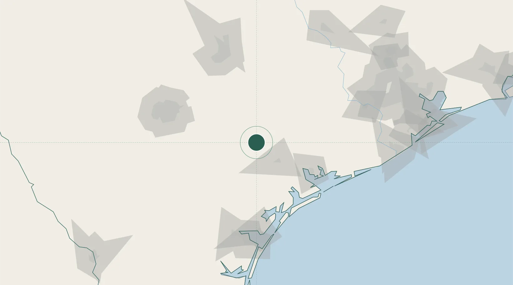
Nearby Logistics Neighbours

Cities
  1. 1Yoakum26 km
  2. 2Waelder67 km
  3. 3Flatonia69 km
  4. 4Berclair70 km
  5. 5Luling74 km
Nearest neighbours — logibook spatial index (haversine) over the source coordinates
Ports
  1. 1Port Lavaca83 km
  2. 2Palacios113 km
  3. 3Rockport121 km
  4. 4Port Aransas141 km
  5. 5Port Ingleside141 km
Nearest neighbours — logibook spatial index (haversine) over the source coordinates
Airports
  1. 1Victoria Regional Airport44 km
  2. 2New Braunfels National Airport101 km
  3. 3San Marcos Regional Airport106 km
  4. 4Randolph Air Force Base109 km
  5. 5Stinson Municipal Airport119 km
Nearest neighbours — logibook spatial index (haversine) over the source coordinates
Trade Zones
  1. 1FTZ No. 183 Austin139 km
  2. 2FTZ No. 122 Corpus Christi142 km
  3. 3FTZ No. 080 San Antonio153 km
  4. 4FTZ No. 149 Freeport180 km
  5. 5FTZ No. 084 Harris County208 km
Nearest neighbours — logibook spatial index (haversine) over the source coordinates
DatabookThe Record of Consolidated Knowledge
United States beyond logistics?
Browse databook

All Sources

LocationsUN/LOCODE
UN/LOCODE — free
LocationsGeoNames
CC BY 4.0
Portsthe NGA World Port Index
Public domain (US gov)
AirportsOurAirports
Public domain
Trade Zonesthe World Bank SEZ database
CC BY 4.0
Trade ZonesOpen Zone Map
CC BY
← United States locations