Medium airport · United States

Texas Gulf Coast Regional AirportKLBX
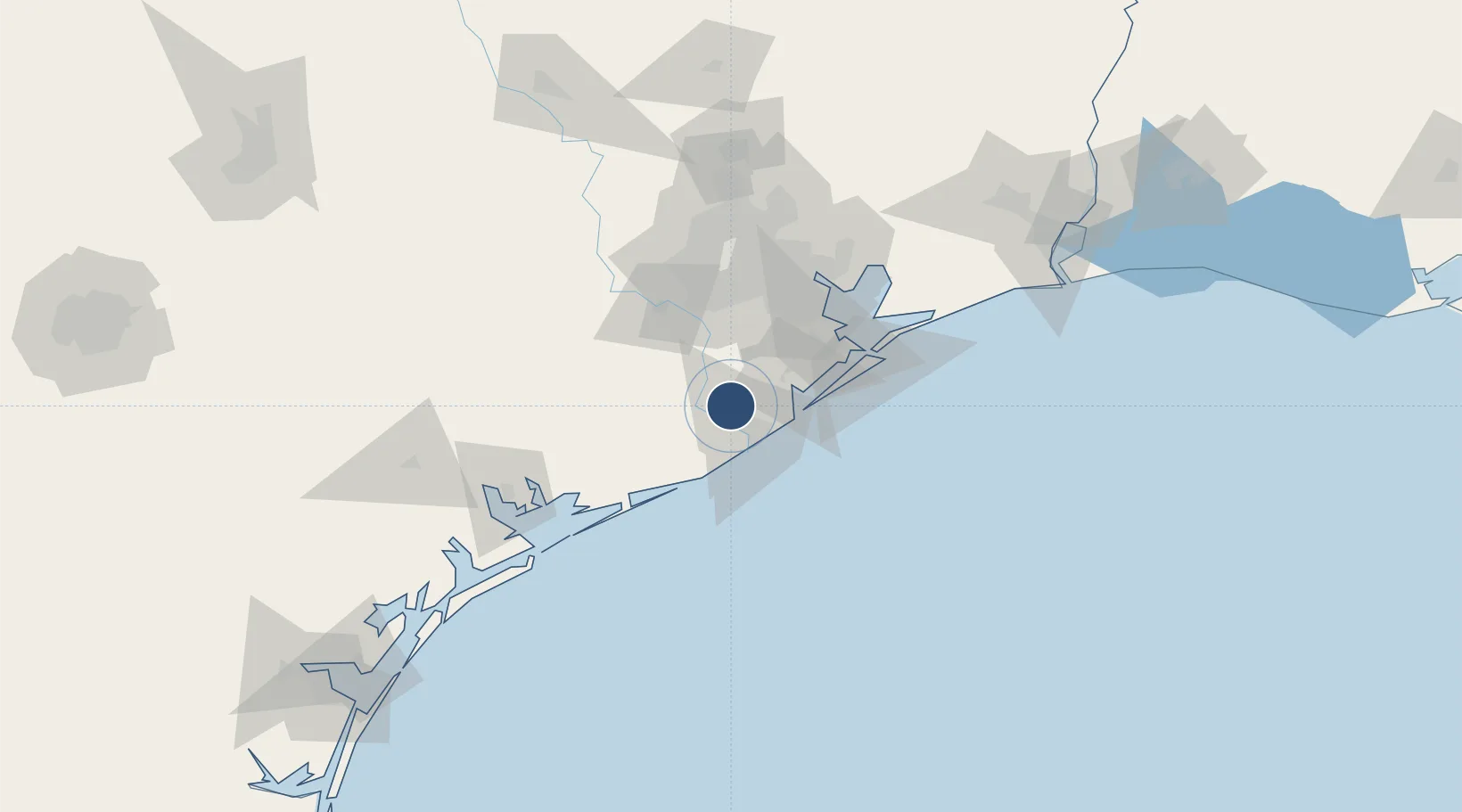
29.1086°, -95.4621°
7,000 ft
Longest runway
1
Runways
25 ft
Elevation

Runway & Layout

Texas Gulf Coast Regional Airport runway & taxiway layout
Runway & taxiway layout — OpenStreetMap (ODbL) / OurAirports

Radio Frequencies

ASOS
119.925 MHz
CLD
125.2 MHz
CLNC DEL
A/D
134.45 MHz
HOUSTON APP/DEP
UNIC
123 MHz
CTAF/UNICOM
OurAirports

Runways · 1

RunwayDimensions SurfaceTrue headingLit
17/35 7,000 × 100ft Asphalt 180°
OurAirports

Airport Specifications

IATA code
LJN
OurAirports
ICAO code
KLBX
OurAirports
Airport class
Medium airport
OurAirports
Scheduled service
No
OurAirports
Runway surface
Asphalt
OurAirports
Served city
Angleton
OurAirports

Location

Location of KLBX
Natural Earth 10m (public domain) · Texas · KLBX · 29.11, -95.46GoogleOSMYandex

Nearby Logistics Neighbours

Airports
  1. 1Sugar Land Regional Airport60 km
  2. 2Scholes International At Galveston Airport61 km
  3. 3William P. Hobby Airport62 km
  4. 4Ellington Airport63 km
  5. 5George Bush Intercontinental Airport98 km
Nearest neighbours — logibook spatial index (haversine) over the source coordinates
Cities
  1. 1Angleton7 km
  2. 2Clute12 km
  3. 3Danbury17 km
  4. 4West Columbia19 km
  5. 5Freeport20 km
Nearest neighbours — logibook spatial index (haversine) over the source coordinates
Ports
  1. 1Freeport22 km
  2. 2Texas City61 km
  3. 3Galveston70 km
  4. 4Pasadena72 km
  5. 5Deer Park72 km
Nearest neighbours — logibook spatial index (haversine) over the source coordinates
Trade Zones
  1. 1FTZ No. 149 Freeport19 km
  2. 2FTZ No. 199 Texas City61 km
  3. 3FTZ No. 036 Galveston68 km
  4. 4FTZ No. 084 Harris County79 km
  5. 5FTZ No. 171 Liberty County126 km
Nearest neighbours — logibook spatial index (haversine) over the source coordinates
DatabookThe Record of Consolidated Knowledge
United States beyond logistics?
Browse databook

All Sources

AirportsOurAirports
Public domain
Portsthe NGA World Port Index
Public domain (US gov)
LocationsUN/LOCODE
UN/LOCODE — free
Trade Zonesthe World Bank SEZ database
CC BY 4.0
Trade ZonesOpen Zone Map
CC BY
InfrastructureOpenStreetMap
ODbL 1.0
← United States airports