Channel & Berth Profile
Pilotage, Tugs & Services
Pilotage compulsoryYES
Pilotage availableYES
Potable waterYES
Diesel bunkersYES
MedicalYES
Facilities & Capabilities
Container—
Ro-Ro—
Liquid bulk—
Dry bulk—
Oil terminal—
Break bulk—
Dry dock—
RepairsNO
BunkeringYES
Rail linkYES
Dangerous cargo—
ISPS security—
Harbour Specifications
Harbour size
Very Small
Harbour type
Coastal (Natural)
Shelter
Good
Water body
Gulf of Mexico; North Atlantic Ocean
Tidal range
0.3 m
Overhead limit
Yes
Pilotage
Yes
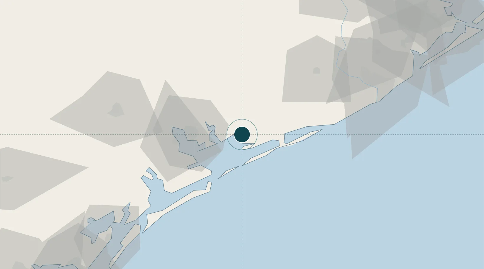
Location
Nearby Logistics Neighbours
Ports
- 1Port Lavaca40 km
- 2Freeport91 km
- 3Rockport110 km
- 4Port Aransas125 km
- 5Port Ingleside135 km
Cities
- 1Midfield28 km
- 2Markham34 km
- 3Lolita35 km
- 4Port Lavaca40 km
- 5El Campo56 km
Airports
- 1Victoria Regional Airport71 km
- 2Texas Gulf Coast Regional Airport87 km
- 3Sugar Land Regional Airport118 km
- 4William P. Hobby Airport141 km
- 5Ellington Airport145 km
Trade Zones
- 1FTZ No. 149 Freeport81 km
- 2FTZ No. 199 Texas City148 km
- 3FTZ No. 122 Corpus Christi151 km
- 4FTZ No. 084 Harris County153 km
- 5FTZ No. 036 Galveston154 km
DatabookThe Record of Consolidated Knowledge
United States beyond logistics?