UN/LOCODE hub · United States
USECP
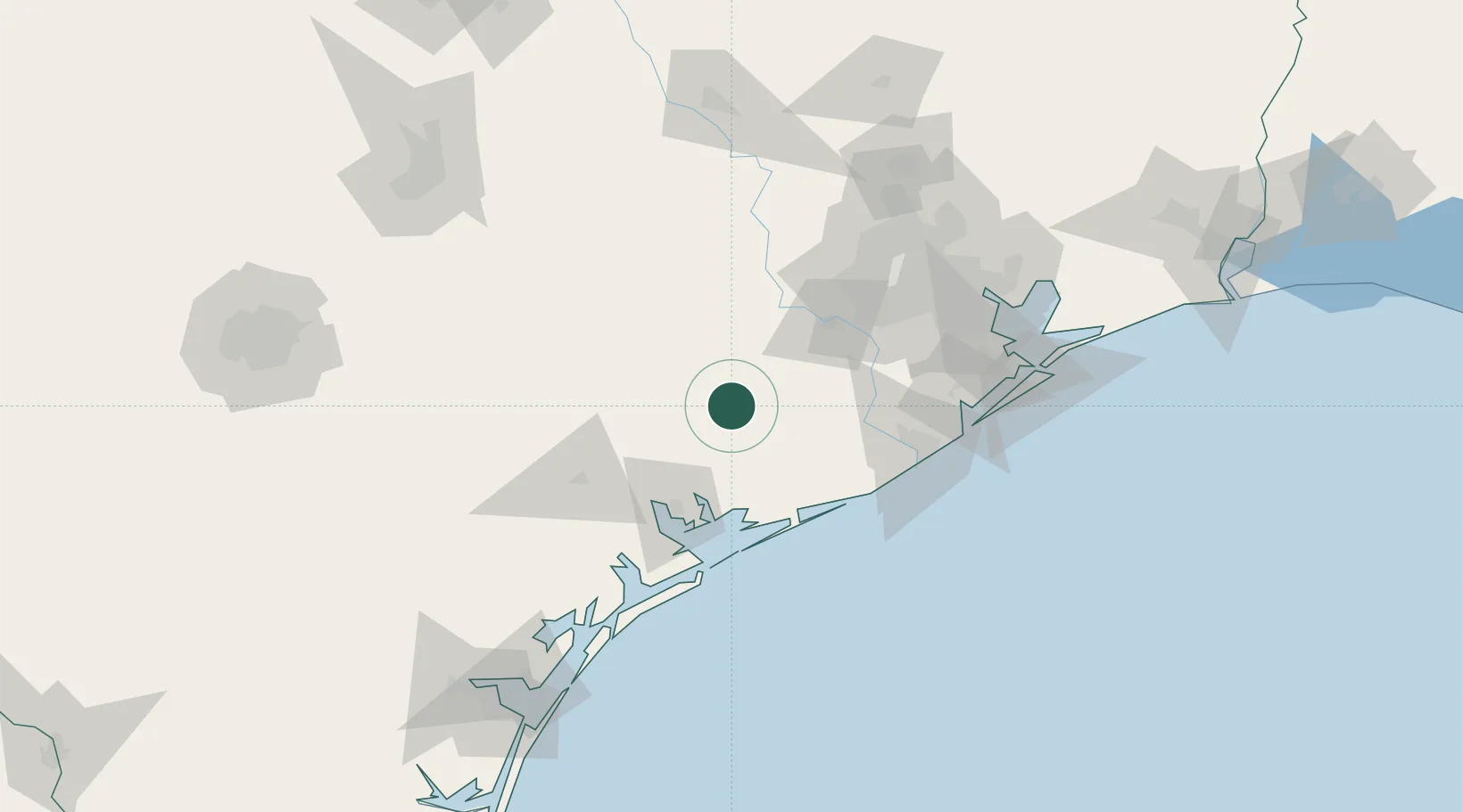
El Campo
29.1833°, -96.2667°
11,604
Population
4
Transport functions
Transport Functions
Port
Rail
Road
Multimodal
Hub Profile
Place type
Populated place
Region
Texas
Population
11,604
Time zone
America/Chicago
Elevation
32 m
Location
Nearby Logistics Neighbours
Cities
- 1Midfield29 km
- 2Hungerford30 km
- 3Markham33 km
- 4East Bernard42 km
- 5Lolita47 km
Ports
- 1Palacios56 km
- 2Port Lavaca72 km
- 3Freeport94 km
- 4Deer Park110 km
- 5Houston114 km
Airports
- 1Victoria Regional Airport73 km
- 2Sugar Land Regional Airport77 km
- 3Texas Gulf Coast Regional Airport79 km
- 4William P. Hobby Airport109 km
- 5Ellington Airport117 km
Trade Zones
- 1FTZ No. 149 Freeport85 km
- 2FTZ No. 084 Harris County116 km
- 3FTZ No. 199 Texas City132 km
- 4FTZ No. 036 Galveston143 km
- 5FTZ No. 171 Liberty County160 km
DatabookThe Record of Consolidated Knowledge
United States beyond logistics?