Transport Functions
Port
Rail
Road
Multimodal
Hub Profile
Place type
Populated place
Region
Texas
Population
555
Time zone
America/Chicago
Elevation
12 m
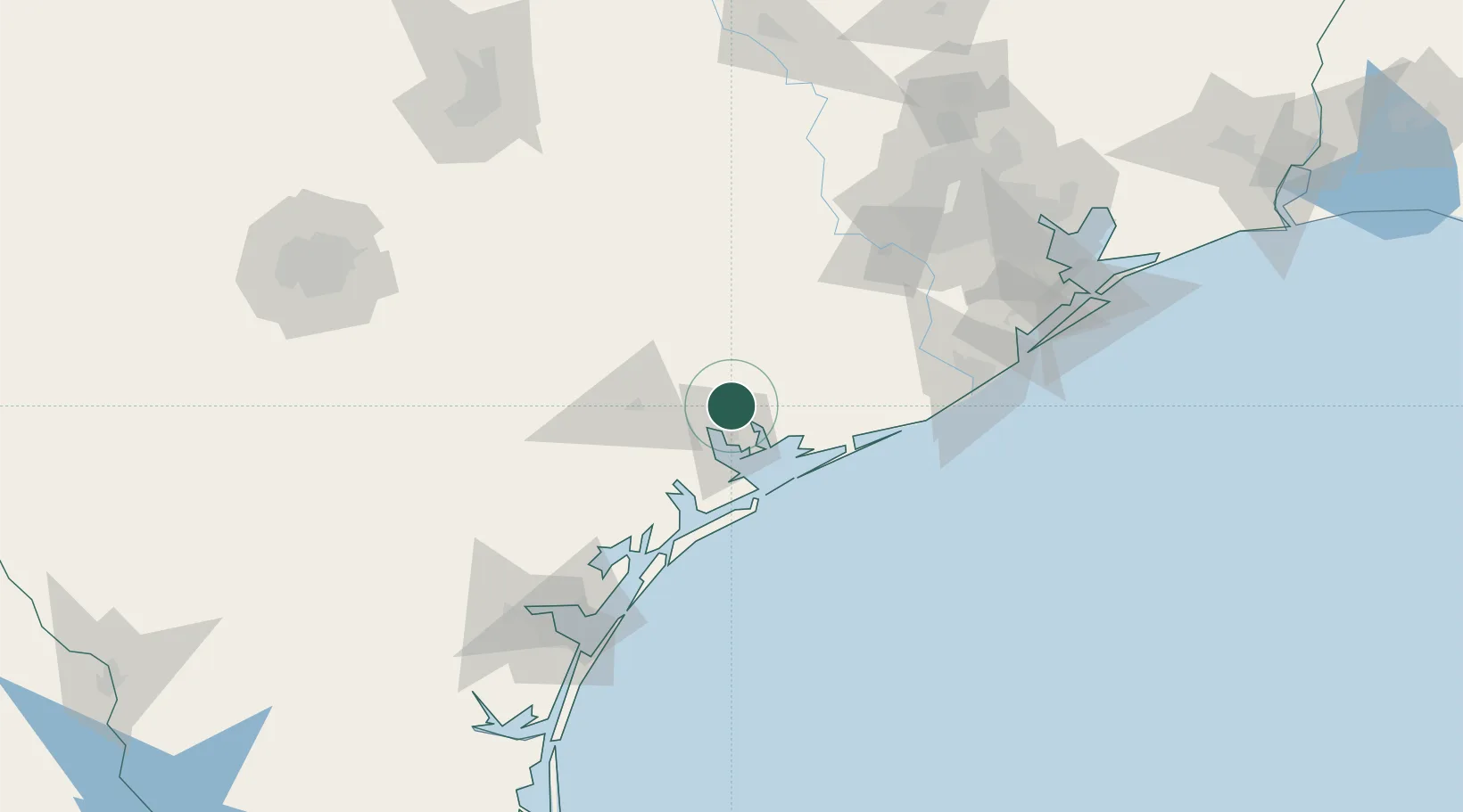
Location
Nearby Logistics Neighbours
Cities
- 1Port Lavaca27 km
- 2Midfield34 km
- 3El Campo47 km
- 4Markham49 km
- 5Hungerford77 km
Ports
- 1Port Lavaca25 km
- 2Palacios35 km
- 3Rockport104 km
- 4Freeport118 km
- 5Port Aransas122 km
Airports
Trade Zones
- 1FTZ No. 149 Freeport107 km
- 2FTZ No. 122 Corpus Christi142 km
- 3FTZ No. 084 Harris County161 km
- 4FTZ No. 199 Texas City168 km
- 5FTZ No. 036 Galveston177 km
DatabookThe Record of Consolidated Knowledge
United States beyond logistics?