Seaport · United States
MobileUSMOB
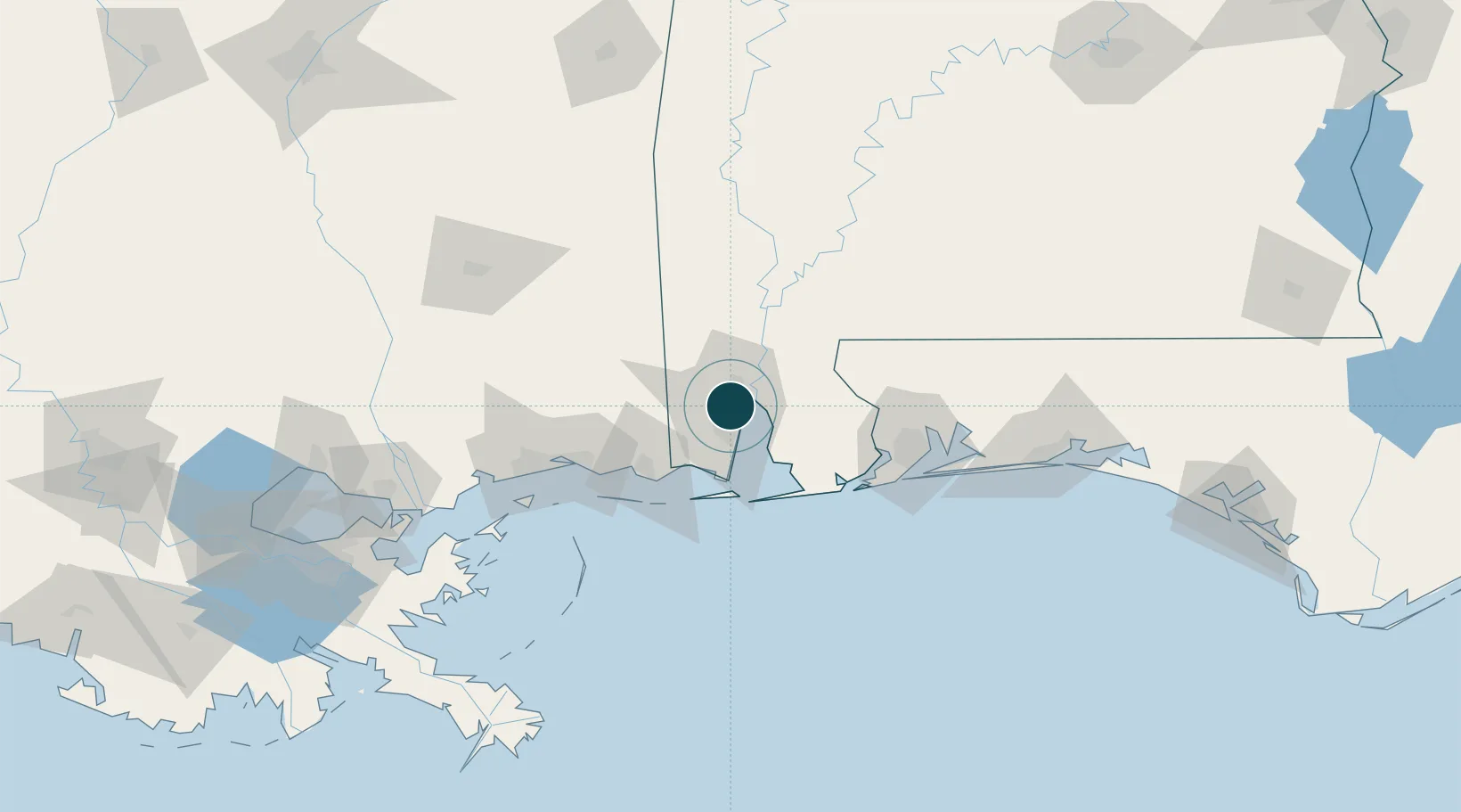
30.6833°, -88.1167°
11.0 m
Channel depth
1
Container terminals
119.3
Port liner connectivity
Channel & Berth Profile
Pilotage, Tugs & Services
Pilotage compulsoryYES
Tug assistanceYES
Shore powerYES
Potable waterYES
Diesel bunkersYES
MedicalYES
Garbage disposalYES
Facilities & Capabilities
Container—
Ro-Ro—
Liquid bulk—
Dry bulk—
Oil terminal—
Break bulk—
Dry dockNO
RepairsNO
BunkeringYES
Rail linkYES
Dangerous cargo—
ISPS security—
Harbour Specifications
Harbour size
Large
Harbour type
River (Natural)
Shelter
Excellent
Water body
Gulf of Mexico; North Atlantic Ocean
Tidal range
0.6 m
Pilotage
Yes
Liner Connectivity
119.3
PLSCI
Port Liner Shipping Connectivity Index for Mobile, as published by UNCTAD for the latest available quarter. Higher values indicate stronger scheduled liner-shipping integration.
Shown relative to the highest per-port PLSCI in the dataset (1,657.9).
Location
Container Terminals · 1
APM TERMINALS MOBILE
APMT
Nearby Logistics Neighbours
Ports
- 1Pascagoula57 km
- 2Biloxi81 km
- 3Pensacola92 km
- 4Gulfport100 km
- 5Slidell166 km
Cities
- 1Whistler8 km
- 2Pinto Island10 km
- 3Chickasaw10 km
- 4Saraland14 km
- 5Semmes16 km
Airports
Trade Zones
- 1FTZ No. 082 Mobile3 km
- 2FTZ No. 249 Pensacola86 km
- 3FTZ No. 092 Harrison County87 km
- 4FTZ No. 002 New Orleans205 km
- 5FTZ No. 065 Panama City234 km
DatabookThe Record of Consolidated Knowledge
United States beyond logistics?