Transport Functions
Rail
Road
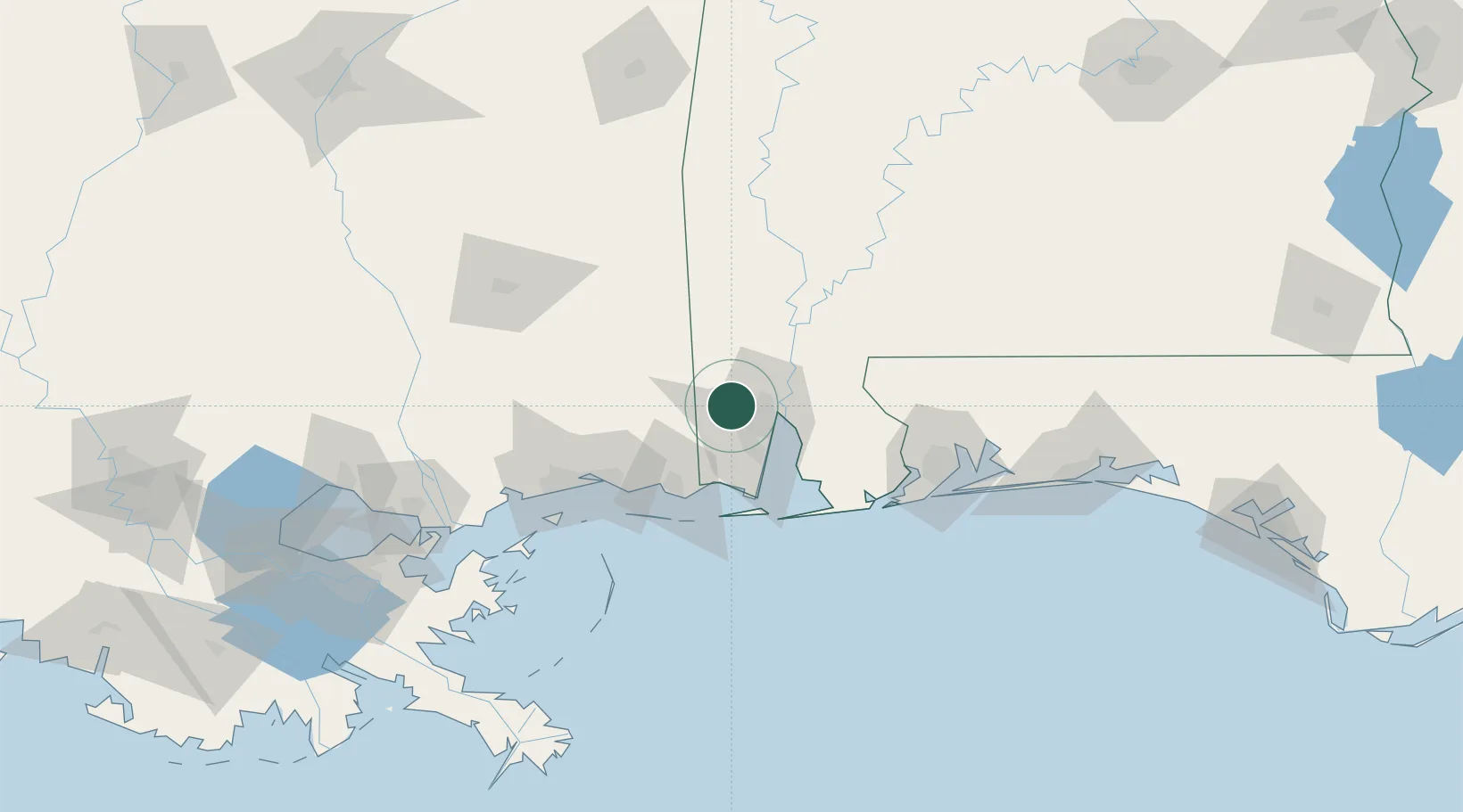
Hub Profile
Place type
Populated place
Region
Alabama
Population
3,886
Time zone
America/Chicago
Elevation
75 m
Location
Nearby Logistics Neighbours
Cities
- 1Whistler15 km
- 2Chunchula17 km
- 3Chickasaw18 km
- 4Saraland18 km
- 5Pinto Island25 km
Ports
- 1Mobile16 km
- 2Pascagoula55 km
- 3Biloxi74 km
- 4Gulfport92 km
- 5Pensacola107 km
Airports
Trade Zones
- 1FTZ No. 082 Mobile18 km
- 2FTZ No. 092 Harrison County79 km
- 3FTZ No. 249 Pensacola101 km
- 4FTZ No. 002 New Orleans197 km
- 5FTZ No. 065 Panama City248 km
DatabookThe Record of Consolidated Knowledge
United States beyond logistics?