UN/LOCODE hub · United States
USSFQ
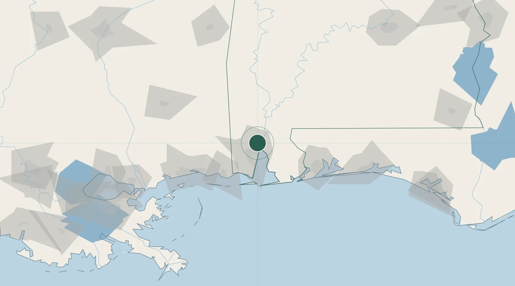
Saraland
30.8040°, -88.0627°
13,906
Population
2
Transport functions
Transport Functions
Rail
Road
Hub Profile
Place type
Populated place
Region
Alabama
Population
13,906
Time zone
America/Chicago
Elevation
4 m
Logistics facilities
1
Location
Nearby Logistics Neighbours
Cities
- 1Chickasaw4 km
- 2Whistler7 km
- 3Pinto Island16 km
- 4Chunchula18 km
- 5Semmes18 km
Ports
- 1Mobile14 km
- 2Pascagoula70 km
- 3Biloxi91 km
- 4Pensacola93 km
- 5Gulfport110 km
Airports
Trade Zones
- 1FTZ No. 082 Mobile13 km
- 2FTZ No. 249 Pensacola87 km
- 3FTZ No. 092 Harrison County97 km
- 4FTZ No. 002 New Orleans215 km
- 5FTZ No. 065 Panama City232 km
DatabookThe Record of Consolidated Knowledge
United States beyond logistics?