Medium airport · United States
Naval Air Station Pensacola Forrest Sherman FieldKNPA
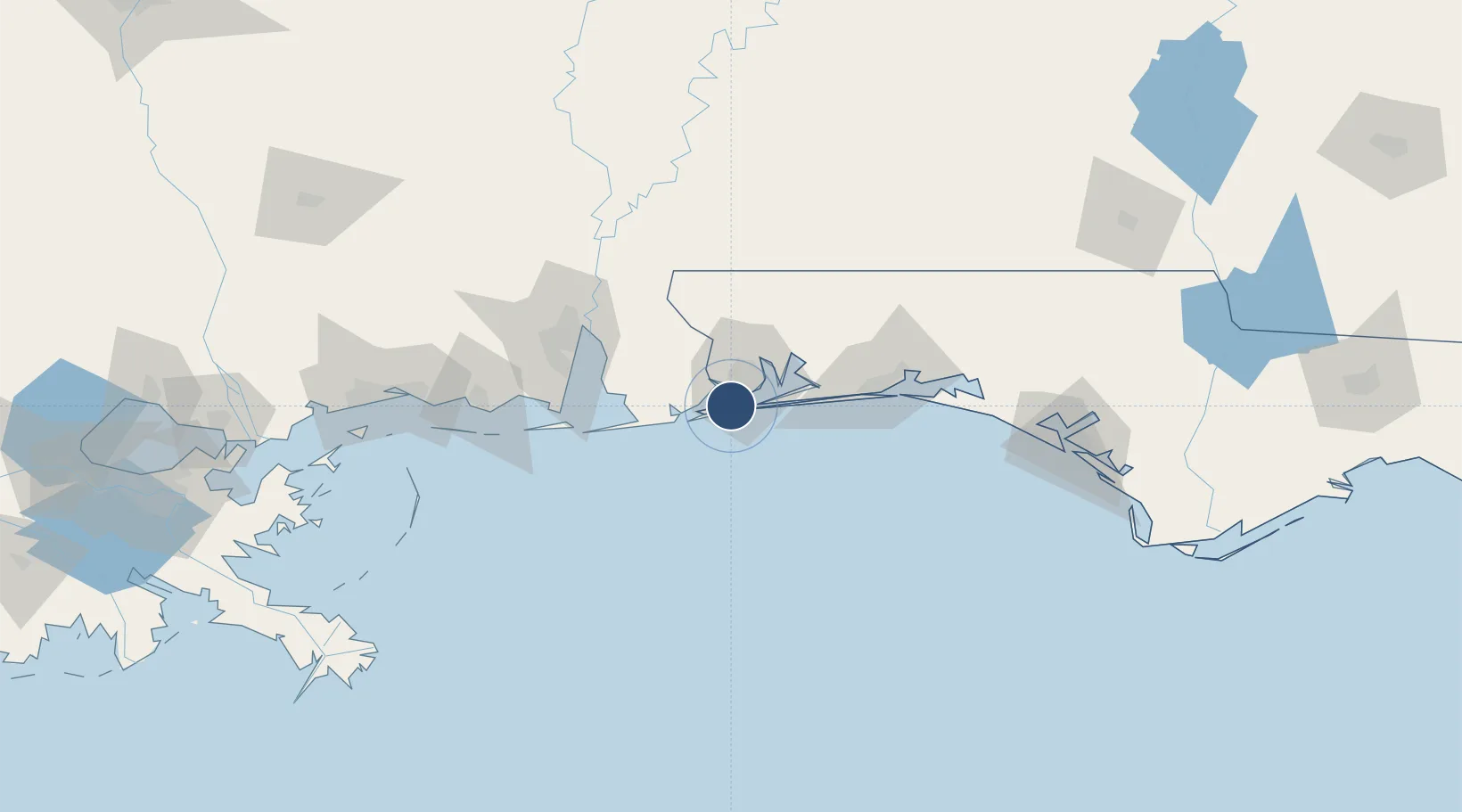
30.3527°, -87.3186°
8,001 ft
Longest runway
3
Runways
28 ft
Elevation
Runway & Layout

Radio Frequencies
ATIS
26.76 MHz
TWR
120.7 MHz
SHERMAN TWR
GND
121.7 MHz
SHERMAN GND
CLD
134.1 MHz
SHERMAN CLNC DEL
APP
120.05 MHz
DEP
120.65 MHz
OPS
31.21 MHz
SHERMAN BASE OPS
PMSV
35.96 MHz
PMSV METRO
Navaids
NPA TACAN Pensacola 117.20 MHz
Runways · 3
| Runway | Dimensions | Surface | True heading | Lit |
|---|---|---|---|---|
| 07L/25R | 8,001 × 200ft | Asphalt | 068° | ✓ |
| 07R/25L | 8,000 × 200ft | Asphalt | 068° | ✓ |
| 01/19 | 7,136 × 200ft | Asphalt | 006° | ✓ |
Airport Specifications
IATA code
NPA
ICAO code
KNPA
Airport class
Medium airport
Scheduled service
No
Runway surface
Asphalt
Served city
Pensacola
Location
Nearby Logistics Neighbours
Airports
Cities
- 1Gulf Breeze15 km
- 2Pensacola Beach18 km
- 3Orange Beach25 km
- 4Cantonment27 km
- 5Bon Secour39 km
Ports
- 1Pensacola11 km
- 2Mobile85 km
- 3Pascagoula120 km
- 4Biloxi150 km
- 5Panama City162 km
Trade Zones
- 1FTZ No. 249 Pensacola11 km
- 2FTZ No. 082 Mobile83 km
- 3FTZ No. 065 Panama City152 km
- 4FTZ No. 092 Harrison County159 km
- 5FTZ No. 233 Dothan205 km
DatabookThe Record of Consolidated Knowledge
United States beyond logistics?