UN/LOCODE hub · United States
USMOB
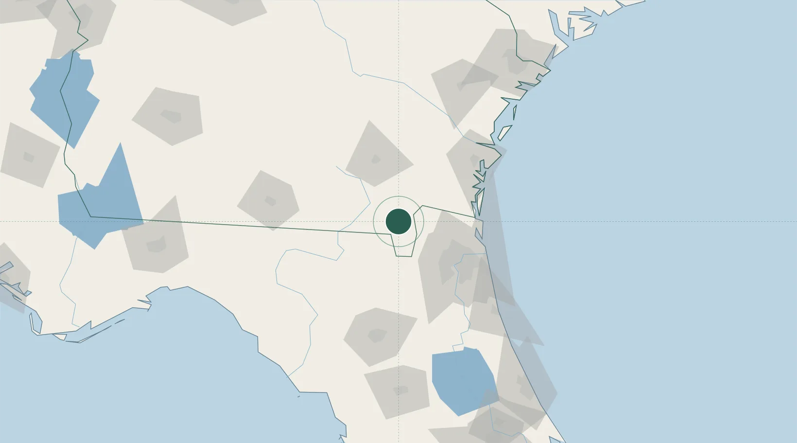
Mobile
30.6776°, -82.1716°
183,289
Population
2
Transport functions
1
Container terminals
Transport Functions
Port
Airport
Hub Profile
Place type
Provincial seat
Region
Alabama
Population
183,289
Time zone
America/Chicago
Elevation
3 m
Logistics facilities
31
Container terminals
1
Location
Nearby Logistics Neighbours
Cities
- 1Callahan35 km
- 2Greenville35 km
- 3Macclenny46 km
- 4Kingsland48 km
- 5Marietta55 km
Ports
- 1Jacksonville64 km
- 2Fernandina Beach67 km
- 3Mayport77 km
- 4Brunswick83 km
- 5Darien104 km
Airports
Trade Zones
- 1FTZ No. 064 Jacksonville42 km
- 2FTZ No. 144 Brunswick83 km
- 3FTZ No. 104 Savannah188 km
- 4FTZ No. 198 Volusia County197 km
- 5FTZ No. 250 Seminole County229 km
DatabookThe Record of Consolidated Knowledge
United States beyond logistics?