Medium airport · United States
Keesler Air Force BaseKBIX
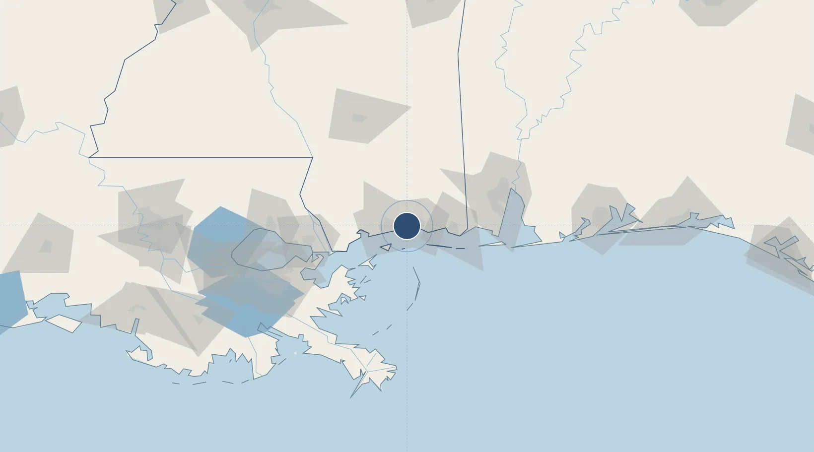
30.4104°, -88.9244°
7,630 ft
Longest runway
1
Runways
33 ft
Elevation
Runway & Layout

Radio Frequencies
ATIS
25.6 MHz
TWR
120.75 MHz
GND
121.8 MHz
CLD
121.8 MHz
CLNC DEL
A/D
124.6 MHz
GULFPORT APP/DEP
MISC
23.66 MHz
AEROMEDICAL EVAC
PMSV
34.46 MHz
PMSV METRO
POST
25.28 MHz
403 WG AFRC COMD
PTD
37.22 MHz
Navaids
BIX TACAN Keesler 111.80 MHz
Runways · 1
| Runway | Dimensions | Surface | True heading | Lit |
|---|---|---|---|---|
| 04/22 | 7,630 × 150ft | Asphalt / concrete | 035° | ✓ |
Airport Specifications
IATA code
BIX
ICAO code
KBIX
Airport class
Medium airport
Scheduled service
No
Runway surface
Asphalt / concrete
Served city
Biloxi
Location
Nearby Logistics Neighbours
Airports
Cities
- 1Ocean Springs9 km
- 2Gulfport18 km
- 3Long Beach23 km
- 4Ship Island24 km
- 5Gautier30 km
Ports
- 1Biloxi5 km
- 2Gulfport17 km
- 3Pascagoula35 km
- 4Mobile83 km
- 5Slidell84 km
Trade Zones
- 1FTZ No. 092 Harrison County5 km
- 2FTZ No. 082 Mobile86 km
- 3FTZ No. 002 New Orleans122 km
- 4FTZ No. 249 Pensacola159 km
- 5FTZ No. 124 Gramercy176 km
DatabookThe Record of Consolidated Knowledge
United States beyond logistics?