Channel & Berth Profile
Pilotage, Tugs & Services
Pilotage compulsoryYES
Pilotage advisableYES
Tug assistanceYES
Shore powerYES
Potable waterYES
Diesel bunkersYES
MedicalYES
Facilities & Capabilities
Container—
Ro-Ro—
Liquid bulk—
Dry bulk—
Oil terminal—
Break bulk—
Dry dockNO
RepairsNO
BunkeringYES
Rail linkYES
Dangerous cargo—
ISPS security—
Harbour Specifications
Harbour size
Very Small
Harbour type
Canal or Lake
Shelter
Excellent
Water body
Gulf of Mexico; North Atlantic Ocean
Overhead limit
Yes
Pilotage
Yes
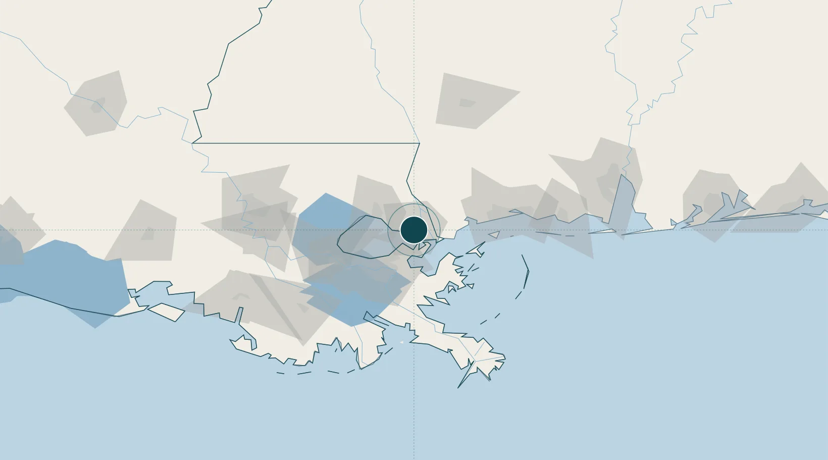
Location
Nearby Logistics Neighbours
Ports
- 1Madisonville38 km
- 2New Orleans44 km
- 3Gretna48 km
- 4St Rose62 km
- 5Destrehan66 km
Cities
- 1Lacombe15 km
- 2Stennis Space Center20 km
- 3Destrehan37 km
- 4Covington38 km
- 5Bush39 km
Airports
Trade Zones
DatabookThe Record of Consolidated Knowledge
United States beyond logistics?