Seaport · United States
PensacolaUSPNS
30.4000°, -87.2167°
11.0 m
Channel depth
16.5
Port liner connectivity
Channel & Berth Profile
Pilotage, Tugs & Services
Pilotage compulsoryYES
Tug assistanceYES
Shore powerYES
Potable waterYES
Diesel bunkersYES
MedicalYES
Garbage disposalYES
Facilities & Capabilities
Container—
Ro-Ro—
Liquid bulk—
Dry bulk—
Oil terminal—
Break bulk—
Dry dock—
RepairsNO
BunkeringYES
Rail linkYES
Dangerous cargo—
ISPS security—
Harbour Specifications
Harbour size
Small
Harbour type
Coastal (Natural)
Water body
Gulf of Mexico; North Atlantic Ocean
Tidal range
0.3 m
Pilotage
Yes
Liner Connectivity
16.5
PLSCI
Port Liner Shipping Connectivity Index for Pensacola, as published by UNCTAD for the latest available quarter. Higher values indicate stronger scheduled liner-shipping integration.
Shown relative to the highest per-port PLSCI in the dataset (1,657.9).
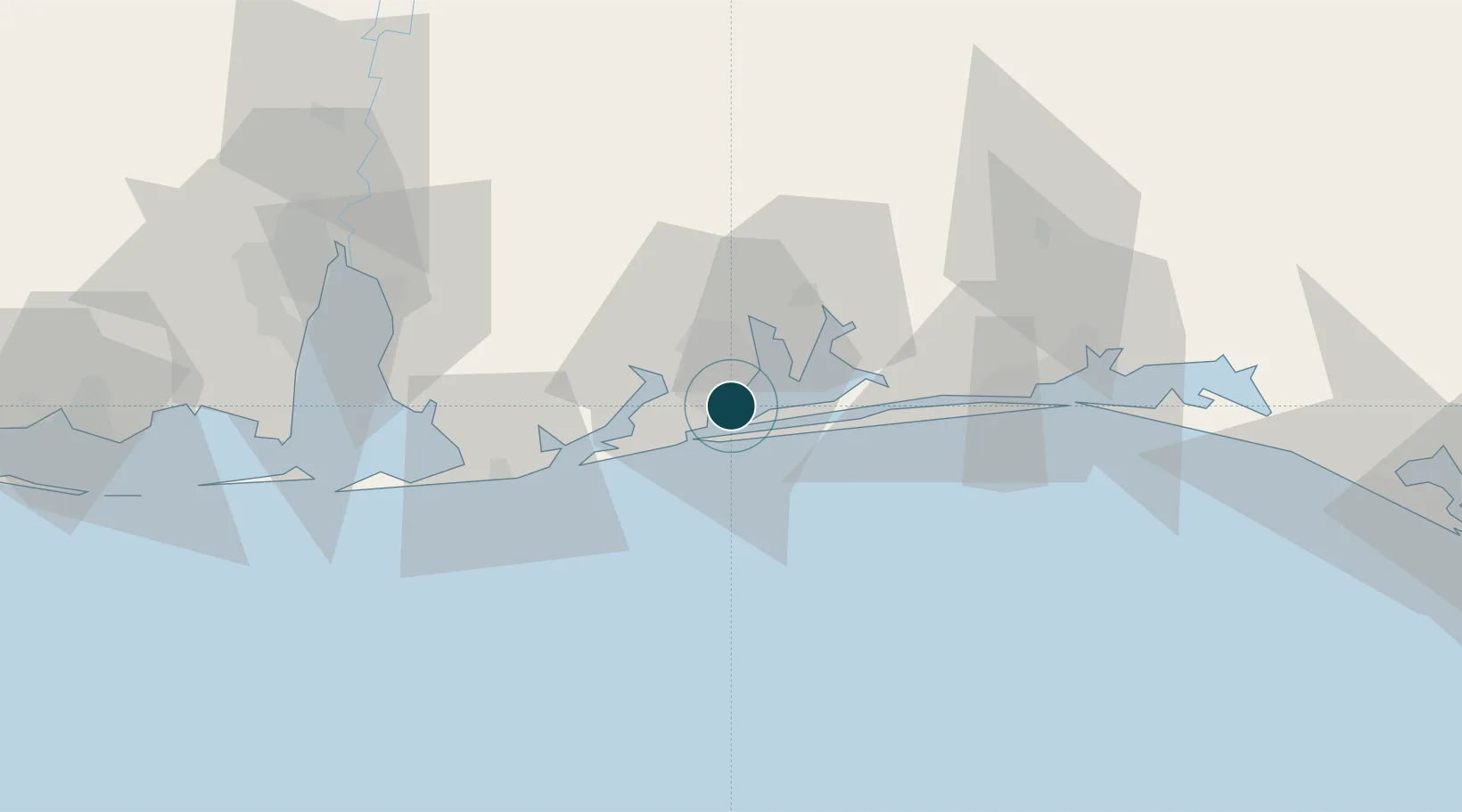
Location
Nearby Logistics Neighbours
Ports
- 1Mobile92 km
- 2Pascagoula130 km
- 3Panama City153 km
- 4Biloxi160 km
- 5Gulfport179 km
Cities
- 1Gulf Breeze7 km
- 2Pensacola Beach11 km
- 3Cantonment22 km
- 4Navarre35 km
- 5Orange Beach36 km
Airports
Trade Zones
- 1FTZ No. 249 Pensacola6 km
- 2FTZ No. 082 Mobile90 km
- 3FTZ No. 065 Panama City143 km
- 4FTZ No. 092 Harrison County168 km
- 5FTZ No. 233 Dothan194 km
DatabookThe Record of Consolidated Knowledge
United States beyond logistics?