Channel & Berth Profile
Pilotage, Tugs & Services
Pilotage compulsoryYES
Tug assistanceYES
Shore powerYES
Potable waterYES
Diesel bunkersYES
MedicalYES
Garbage disposalYES
Facilities & Capabilities
Container—
Ro-Ro—
Liquid bulk—
Dry bulk—
Oil terminal—
Break bulk—
Dry dock—
RepairsNO
BunkeringYES
Rail linkYES
Dangerous cargo—
ISPS security—
Harbour Specifications
Harbour size
Small
Harbour type
Coastal (Natural)
Shelter
Excellent
Water body
Gulf of Mexico; North Atlantic Ocean
Tidal range
0.6 m
Pilotage
Yes
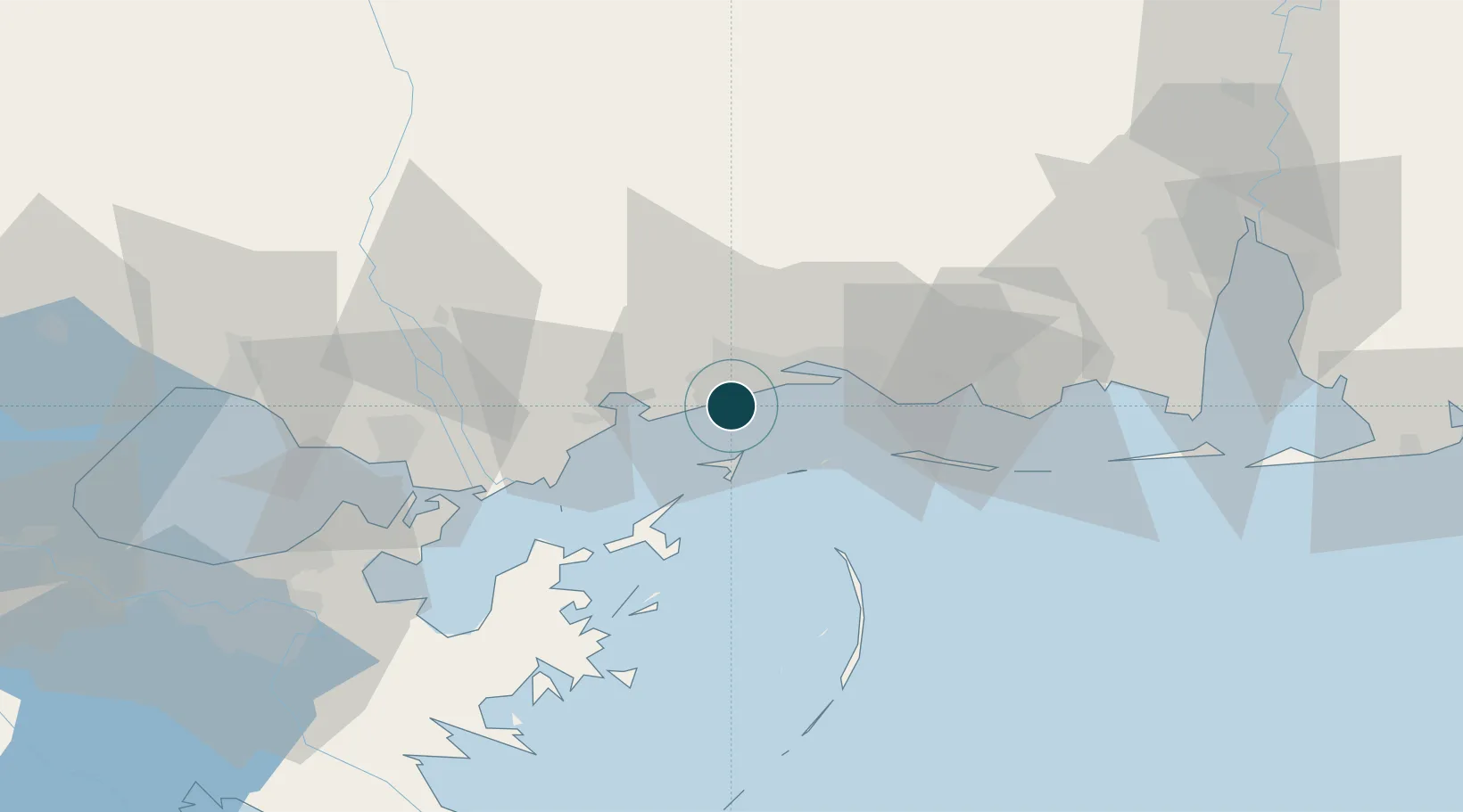
Location
Container Terminals · 1
PORT OF GULFPORT TERMINAL
POGT MISSISSIPPI STATE PORT AUTHORITY (MSPA)
Nearby Logistics Neighbours
Ports
- 1Biloxi20 km
- 2Pascagoula50 km
- 3Slidell68 km
- 4Mobile100 km
- 5Madisonville103 km
Cities
- 1Long Beach6 km
- 2Ship Island21 km
- 3Ocean Springs25 km
- 4Gautier45 km
- 5Stennis Space Center51 km
Airports
Trade Zones
- 1FTZ No. 092 Harrison County13 km
- 2FTZ No. 082 Mobile102 km
- 3FTZ No. 002 New Orleans105 km
- 4FTZ No. 124 Gramercy160 km
- 5FTZ No. 249 Pensacola175 km
DatabookThe Record of Consolidated Knowledge
United States beyond logistics?