Channel & Berth Profile
Pilotage, Tugs & Services
Pilotage compulsoryYES
Pilotage availableYES
Tug assistanceYES
Shore powerYES
Potable waterYES
Diesel bunkersYES
MedicalYES
Facilities & Capabilities
Container—
Ro-Ro—
Liquid bulk—
Dry bulk—
Oil terminal—
Break bulk—
Dry dockNO
RepairsNO
BunkeringYES
Rail linkYES
Dangerous cargo—
ISPS security—
Harbour Specifications
Harbour size
Very Small
Harbour type
Coastal (Natural)
Shelter
Excellent
Water body
Gulf of Mexico; North Atlantic Ocean
Tidal range
0.6 m
Overhead limit
Yes
Pilotage
Yes
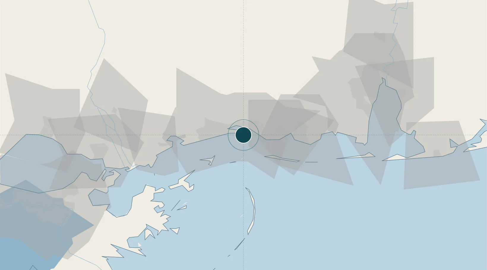
Location
Nearby Logistics Neighbours
Ports
- 1Gulfport20 km
- 2Pascagoula31 km
- 3Mobile81 km
- 4Slidell87 km
- 5Madisonville122 km
Cities
- 1Ocean Springs6 km
- 2Gulfport21 km
- 3Ship Island21 km
- 4Gautier26 km
- 5Long Beach26 km
Airports
Trade Zones
- 1FTZ No. 092 Harrison County9 km
- 2FTZ No. 082 Mobile83 km
- 3FTZ No. 002 New Orleans124 km
- 4FTZ No. 249 Pensacola156 km
- 5FTZ No. 124 Gramercy180 km
DatabookThe Record of Consolidated Knowledge
United States beyond logistics?