Transport Functions
Rail
Road
Multimodal
Hub Profile
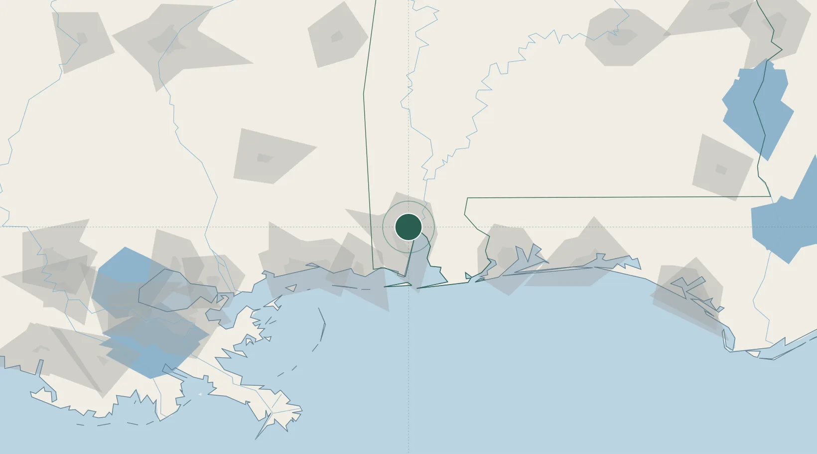
Place type
Populated place
Region
Alabama
Time zone
America/Chicago
Elevation
11 m
Location
Nearby Logistics Neighbours
Cities
- 1Chickasaw4 km
- 2Saraland7 km
- 3Pinto Island12 km
- 4Semmes15 km
- 5Chunchula21 km
Ports
- 1Mobile8 km
- 2Pascagoula63 km
- 3Biloxi85 km
- 4Pensacola93 km
- 5Gulfport104 km
Airports
Trade Zones
- 1FTZ No. 082 Mobile7 km
- 2FTZ No. 249 Pensacola87 km
- 3FTZ No. 092 Harrison County91 km
- 4FTZ No. 002 New Orleans209 km
- 5FTZ No. 065 Panama City234 km
DatabookThe Record of Consolidated Knowledge
United States beyond logistics?