Transport Functions
Port
Road
Hub Profile
Region
AL
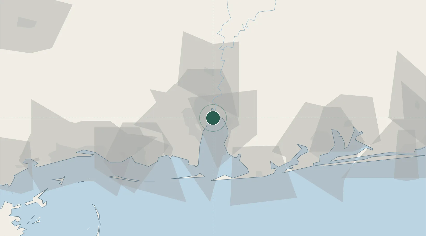
Location
Nearby Logistics Neighbours
Ports
- 1Mobile10 km
- 2Pascagoula63 km
- 3Pensacola82 km
- 4Biloxi89 km
- 5Gulfport108 km
Airports
Trade Zones
- 1FTZ No. 082 Mobile7 km
- 2FTZ No. 249 Pensacola77 km
- 3FTZ No. 092 Harrison County96 km
- 4FTZ No. 002 New Orleans213 km
- 5FTZ No. 065 Panama City224 km
DatabookThe Record of Consolidated Knowledge
United States beyond logistics?