Large airport · United States

Pensacola International AirportKPNS
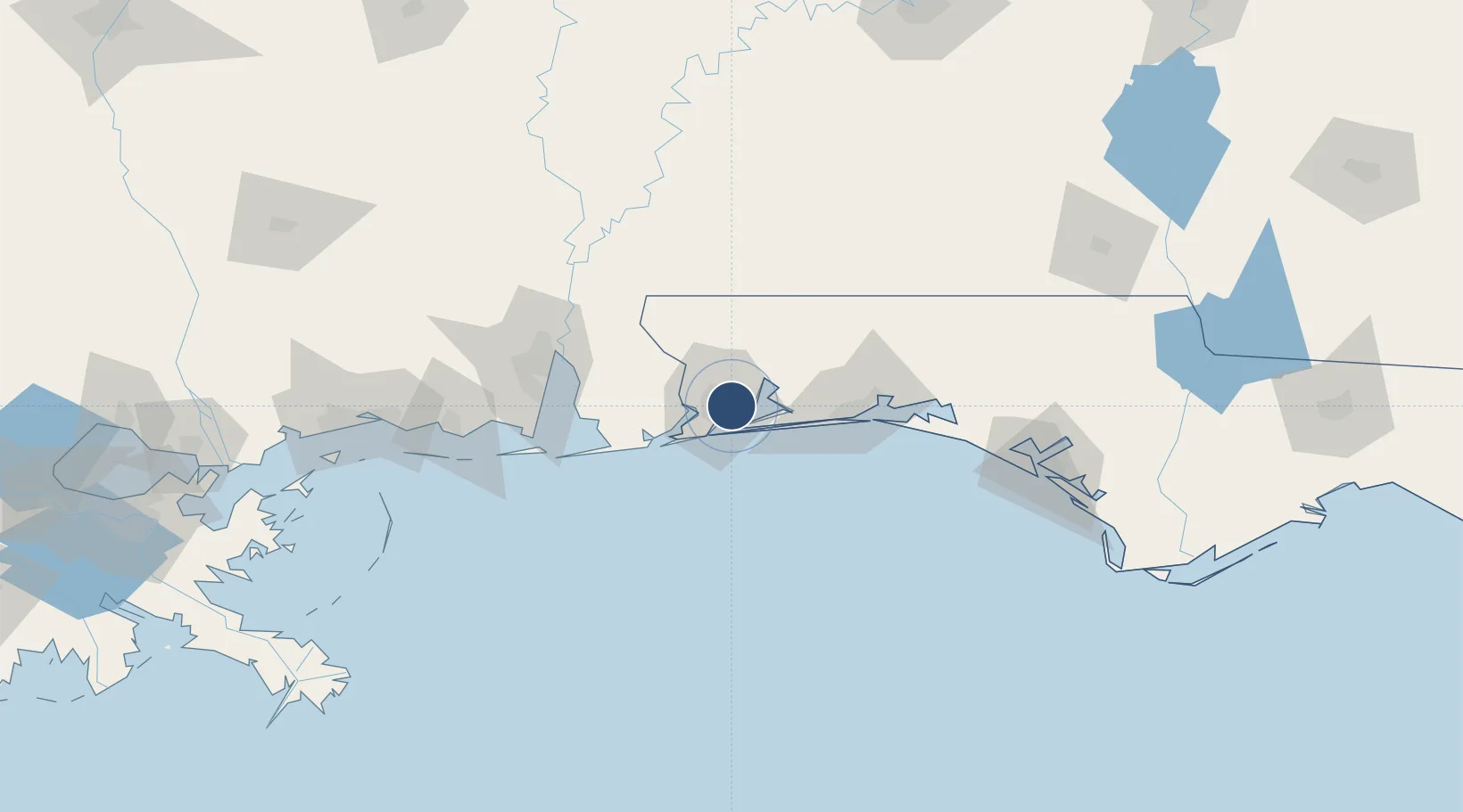
30.4727°, -87.1866°
7,004 ft
Longest runway
2
Runways
121 ft
Elevation

Runway & Layout

Pensacola International Airport runway & taxiway layout
Runway & taxiway layout — OpenStreetMap (ODbL) / OurAirports

Radio Frequencies

ATIS
121.25 MHz
TWR
119.9 MHz
GND
121.9 MHz
CLD
123.725 MHz
CLNC DEL
CTAF
119.9 MHz
A/D
118.6 MHz
APP/DEP
RDO
122.2 MHz
GAINESVILLE RDO
UNIC
122.95 MHz
UNICOM
OurAirports

Navaids

PKZ NDB Pickens 326 kHz
OurAirports

Runways · 2

RunwayDimensions SurfaceTrue headingLit
17/35 7,004 × 150ft Asphalt 167°
08/26 7,000 × 150ft Asphalt 078°
OurAirports

Airport Specifications

IATA code
PNS
OurAirports
ICAO code
KPNS
OurAirports
Airport class
Large airport
OurAirports
Scheduled service
Yes
OurAirports
Runway surface
Asphalt
OurAirports
Served city
Pensacola
OurAirports

Location

Location of KPNS
Natural Earth 10m (public domain) · Florida · KPNS · 30.47, -87.19GoogleOSMYandex

Nearby Logistics Neighbours

Airports
  1. 1Naval Air Station Pensacola Forrest Sherman Field18 km
  2. 2Whiting Field Naval Air Station South Airport30 km
  3. 3Whiting Field Naval Air Station - North32 km
  4. 4Hurlburt Field48 km
  5. 5Destin-Fort Walton Beach Airport64 km
Nearest neighbours — logibook spatial index (haversine) over the source coordinates
Cities
  1. 1Gulf Breeze14 km
  2. 2Cantonment15 km
  3. 3Pensacola Beach16 km
  4. 4Navarre33 km
  5. 5Orange Beach42 km
Nearest neighbours — logibook spatial index (haversine) over the source coordinates
Ports
  1. 1Pensacola9 km
  2. 2Mobile92 km
  3. 3Pascagoula133 km
  4. 4Panama City152 km
  5. 5Biloxi163 km
Nearest neighbours — logibook spatial index (haversine) over the source coordinates
Trade Zones
  1. 1FTZ No. 249 Pensacola8 km
  2. 2FTZ No. 082 Mobile90 km
  3. 3FTZ No. 065 Panama City142 km
  4. 4FTZ No. 092 Harrison County171 km
  5. 5FTZ No. 233 Dothan188 km
Nearest neighbours — logibook spatial index (haversine) over the source coordinates
DatabookThe Record of Consolidated Knowledge
United States beyond logistics?
Browse databook

All Sources

AirportsOurAirports
Public domain
Portsthe NGA World Port Index
Public domain (US gov)
LocationsUN/LOCODE
UN/LOCODE — free
Trade Zonesthe World Bank SEZ database
CC BY 4.0
Trade ZonesOpen Zone Map
CC BY
InfrastructureOpenStreetMap
ODbL 1.0
← United States airports