UN/LOCODE hub · United States
USCGW
Chickasaw
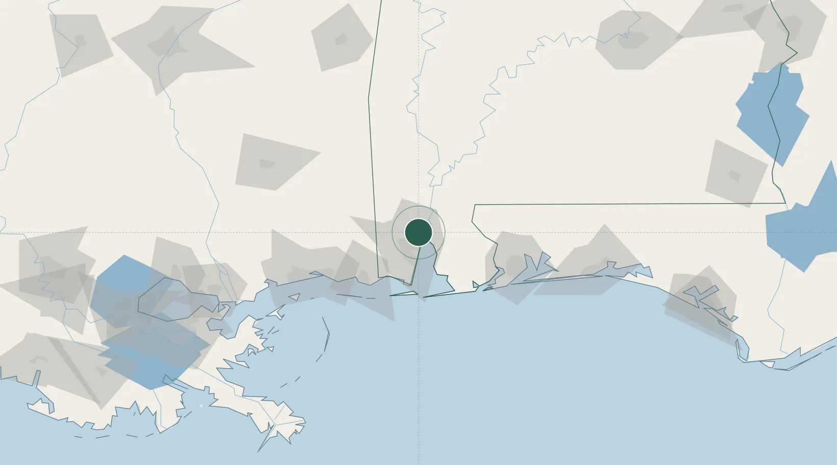
30.7667°, -88.0667°
5,954
Population
2
Transport functions
Transport Functions
Port
Road
Hub Profile
Place type
Populated place
Region
Alabama
Population
5,954
Time zone
America/Chicago
Elevation
10 m
Location
Nearby Logistics Neighbours
Cities
- 1Whistler4 km
- 2Saraland4 km
- 3Pinto Island12 km
- 4Semmes18 km
- 5Chunchula21 km
Ports
- 1Mobile10 km
- 2Pascagoula67 km
- 3Biloxi89 km
- 4Pensacola91 km
- 5Gulfport108 km
Airports
Trade Zones
- 1FTZ No. 082 Mobile9 km
- 2FTZ No. 249 Pensacola85 km
- 3FTZ No. 092 Harrison County95 km
- 4FTZ No. 002 New Orleans213 km
- 5FTZ No. 065 Panama City231 km
DatabookThe Record of Consolidated Knowledge
United States beyond logistics?