Medium airport · United States
Mobile Regional AirportKMOB
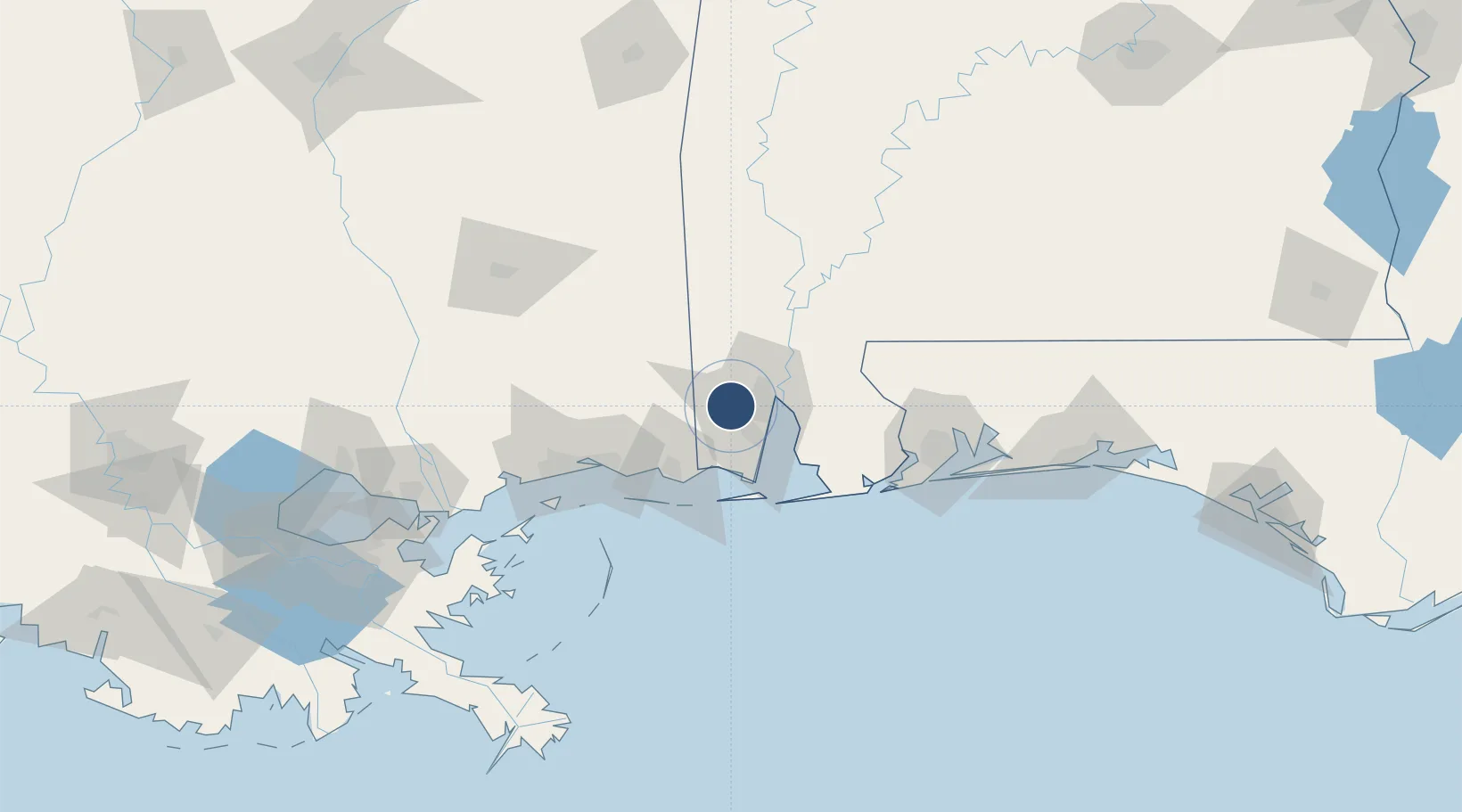
30.6912°, -88.2428°
8,502 ft
Longest runway
2
Runways
219 ft
Elevation
Runway & Layout

Radio Frequencies
ATIS
124.75 MHz
TWR
118.3 MHz
GND
121.9 MHz
CLD
119.85 MHz
CLNC DEL
CTAF
118.3 MHz
A/D
118.5 MHz
APP/DEP
MISC
41.05 MHz
ARNG OPS
OPS
34.5 MHz
AIR
RDO
122.2 MHz
ANNISTON RDO
UNIC
122.95 MHz
UNICOM
Navaids
MO NDB Wisle 248 kHz
SJI VORTAC Semmes 115.30 MHz
Runways · 2
| Runway | Dimensions | Surface | True heading | Lit |
|---|---|---|---|---|
| 15/33 | 8,502 × 150ft | Asphalt | 144° | ✓ |
| 18/36 | 4,376 × 150ft | Asphalt | 180° | ✓ |
Airport Specifications
IATA code
MOB
ICAO code
KMOB
Airport class
Medium airport
Scheduled service
Yes
Runway surface
Asphalt
Served city
Mobile
Location
Nearby Logistics Neighbours
Airports
Cities
- 1Semmes8 km
- 2Whistler15 km
- 3Chickasaw19 km
- 4Saraland21 km
- 5Pinto Island22 km
Ports
- 1Mobile12 km
- 2Pascagoula49 km
- 3Biloxi70 km
- 4Gulfport89 km
- 5Pensacola104 km
Trade Zones
- 1FTZ No. 082 Mobile15 km
- 2FTZ No. 092 Harrison County76 km
- 3FTZ No. 249 Pensacola98 km
- 4FTZ No. 002 New Orleans194 km
- 5FTZ No. 065 Panama City246 km
DatabookThe Record of Consolidated Knowledge
United States beyond logistics?