Medium airport · United States

Mobile Downtown AirportKBFM
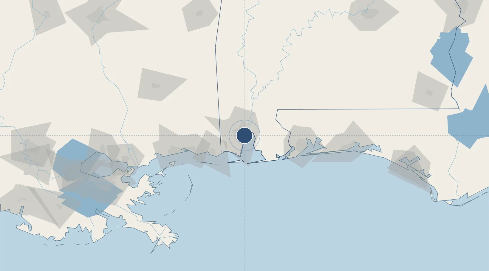
30.6268°, -88.0681°
9,618 ft
Longest runway
2
Runways
26 ft
Elevation

Runway & Layout

Mobile Downtown Airport runway & taxiway layout
Runway & taxiway layout — OpenStreetMap (ODbL) / OurAirports

Radio Frequencies

ATIS
135.575 MHz
TWR
118.8 MHz
DOWNTOWN TWR
GND
121.7 MHz
CTAF
118.8 MHz
A/D
118.5 MHz
APP/DEP
RDO
112.8 MHz
ANNISTON RDO
UNIC
122.95 MHz
UNICOM
OurAirports

Runways · 2

RunwayDimensions SurfaceTrue headingLit
14/32 9,618 × 150ft Asphalt / concrete 139°
18/36 7,800 × 150ft Asphalt / concrete 180°
OurAirports

Airport Specifications

IATA code
BFM
OurAirports
ICAO code
KBFM
OurAirports
Airport class
Medium airport
OurAirports
Scheduled service
No
OurAirports
Runway surface
Asphalt / concrete
OurAirports
Served city
Mobile
OurAirports

Location

Location of KBFM
Natural Earth 10m (public domain) · Alabama · KBFM · 30.63, -88.07GoogleOSMYandex

Nearby Logistics Neighbours

Airports
  1. 1Mobile Regional Airport18 km
  2. 2Naval Air Station Pensacola Forrest Sherman Field78 km
  3. 3Keesler Air Force Base86 km
  4. 4Pensacola International Airport86 km
  5. 5Gulfport Biloxi International Airport99 km
Nearest neighbours — logibook spatial index (haversine) over the source coordinates
Cities
  1. 1Pinto Island7 km
  2. 2Whistler14 km
  3. 3Chickasaw16 km
  4. 4Daphne16 km
  5. 5Saraland20 km
Nearest neighbours — logibook spatial index (haversine) over the source coordinates
Ports
  1. 1Mobile8 km
  2. 2Pascagoula57 km
  3. 3Biloxi83 km
  4. 4Pensacola85 km
  5. 5Gulfport102 km
Nearest neighbours — logibook spatial index (haversine) over the source coordinates
Trade Zones
  1. 1FTZ No. 082 Mobile7 km
  2. 2FTZ No. 249 Pensacola80 km
  3. 3FTZ No. 092 Harrison County90 km
  4. 4FTZ No. 002 New Orleans206 km
  5. 5FTZ No. 065 Panama City228 km
Nearest neighbours — logibook spatial index (haversine) over the source coordinates
DatabookThe Record of Consolidated Knowledge
United States beyond logistics?
Browse databook

All Sources

AirportsOurAirports
Public domain
Portsthe NGA World Port Index
Public domain (US gov)
LocationsUN/LOCODE
UN/LOCODE — free
Trade Zonesthe World Bank SEZ database
CC BY 4.0
Trade ZonesOpen Zone Map
CC BY
InfrastructureOpenStreetMap
ODbL 1.0
← United States airports