Channel & Berth Profile
Pilotage, Tugs & Services
Pilotage compulsoryYES
Pilotage availableYES
Pilotage advisableYES
Tug assistanceYES
Shore powerYES
Potable waterYES
Diesel bunkersYES
MedicalYES
Garbage disposalYES
Facilities & Capabilities
Container—
Ro-Ro—
Liquid bulk—
Dry bulk—
Oil terminal—
Break bulk—
Dry dockNO
RepairsNO
BunkeringYES
Rail linkYES
Dangerous cargo—
ISPS security—
Harbour Specifications
Harbour size
Small
Harbour type
River (Natural)
Shelter
Excellent
Water body
Gulf of Mexico; North Atlantic Ocean
Tidal range
0.6 m
Overhead limit
Yes
Pilotage
Yes
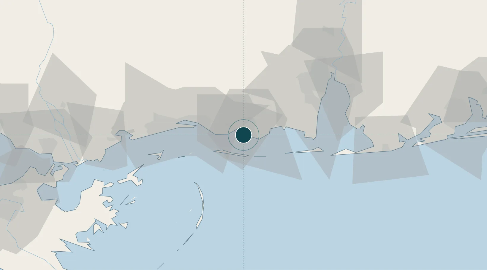
Location
Nearby Logistics Neighbours
Cities
- 1Gautier6 km
- 2Grand Bay23 km
- 3Ocean Springs27 km
- 4Ship Island40 km
- 5Alabama Pt.45 km
Airports
Trade Zones
- 1FTZ No. 092 Harrison County40 km
- 2FTZ No. 082 Mobile59 km
- 3FTZ No. 249 Pensacola125 km
- 4FTZ No. 002 New Orleans151 km
- 5FTZ No. 124 Gramercy209 km
DatabookThe Record of Consolidated Knowledge
United States beyond logistics?