Foreign Trade Zone · United States

FTZ No. 065 Panama City Active
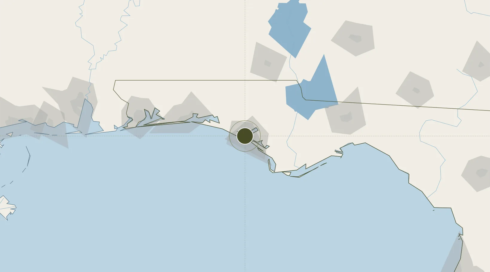
30.2036°, -85.7435°
11.9 km
Nearest port
17.8 km
Nearest airport

Gateway access

Nearest neighbours — logibook spatial index (haversine) over the source coordinates

Zone profile

Zone type
Foreign Trade Zone
Open Zone Map
Region
Florida
Open Zone Map
Status
Active
Open Zone Map
Management
Public
Open Zone Map
Operator
Panama City Port Authority
Open Zone Map
Legal framework
Foreign-Trade Zones Act
Open Zone Map

Location

Location of ozm-4773
Natural Earth 10m (public domain) · Florida · ozm-4773 · 30.20, -85.74GoogleOSMYandex

Nearby Logistics Neighbours

Ports
  1. 1Panama City12 km
  2. 2Port St Joe60 km
  3. 3Apalachicola91 km
  4. 4Carrabelle111 km
  5. 5Pensacola143 km
Nearest neighbours — logibook spatial index (haversine) over the source coordinates
Airports
  1. 1Northwest Florida Beaches International Airport18 km
  2. 2Tyndall Air Force Base22 km
  3. 3Destin Executive Airport73 km
  4. 4Destin-Fort Walton Beach Airport80 km
  5. 5Duke Field90 km
Nearest neighbours — logibook spatial index (haversine) over the source coordinates
Cities
  1. 1Panama City3 km
  2. 2Lynn Haven10 km
  3. 3Callaway18 km
  4. 4Mexico Beach44 km
  5. 5Freeport49 km
Nearest neighbours — logibook spatial index (haversine) over the source coordinates
Trade Zones
  1. 1FTZ No. 233 Dothan118 km
  2. 2FTZ No. 249 Pensacola148 km
  3. 3FTZ No. 082 Mobile231 km
  4. 4FTZ No. 222 Montgomery247 km
  5. 5FTZ No. 092 Harrison County311 km
Nearest neighbours — logibook spatial index (haversine) over the source coordinates
DatabookThe Record of Consolidated Knowledge
United States beyond logistics?
Browse databook

All Sources

Trade ZonesOpen Zone Map
CC BY
Portsthe NGA World Port Index
Public domain (US gov)
AirportsOurAirports
Public domain
LocationsUN/LOCODE
UN/LOCODE — free
← United States trade zones