Foreign Trade Zone · United States

FTZ No. 082 Mobile Active
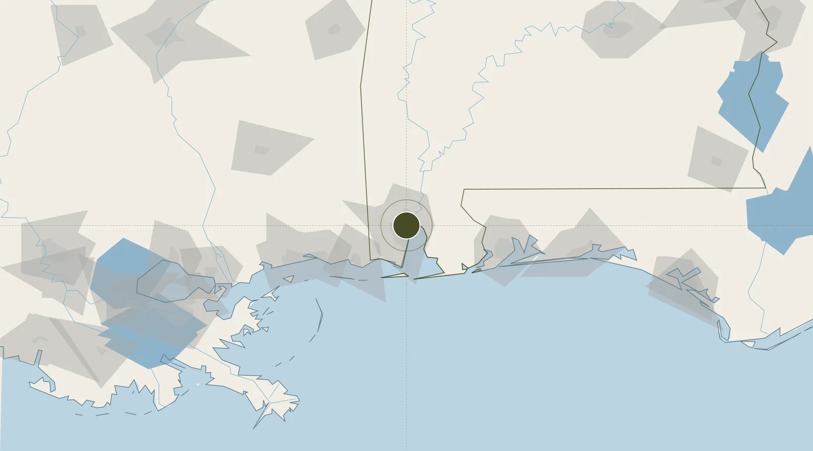
30.6878°, -88.0904°
2.6 km
Nearest port
7.1 km
Nearest airport

Gateway access

Nearest neighbours — logibook spatial index (haversine) over the source coordinates

Zone profile

Zone type
Foreign Trade Zone
Open Zone Map
Region
Alabama
Open Zone Map
Status
Active
Open Zone Map
Management
Public
Open Zone Map
Operator
City of Mobile
Open Zone Map
Legal framework
Foreign-Trade Zones Act
Open Zone Map

Location

Location of ozm-4763
Natural Earth 10m (public domain) · Alabama · ozm-4763 · 30.69, -88.09GoogleOSMYandex

Nearby Logistics Neighbours

Ports
  1. 1Mobile3 km
  2. 2Pascagoula59 km
  3. 3Biloxi83 km
  4. 4Pensacola90 km
  5. 5Gulfport102 km
Nearest neighbours — logibook spatial index (haversine) over the source coordinates
Airports
  1. 1Mobile Downtown Airport7 km
  2. 2Mobile Regional Airport15 km
  3. 3Naval Air Station Pensacola Forrest Sherman Field83 km
  4. 4Keesler Air Force Base86 km
  5. 5Pensacola International Airport90 km
Nearest neighbours — logibook spatial index (haversine) over the source coordinates
Cities
  1. 1Whistler7 km
  2. 2Pinto Island7 km
  3. 3Chickasaw9 km
  4. 4Saraland13 km
  5. 5Semmes18 km
Nearest neighbours — logibook spatial index (haversine) over the source coordinates
Trade Zones
  1. 1FTZ No. 249 Pensacola84 km
  2. 2FTZ No. 092 Harrison County90 km
  3. 3FTZ No. 002 New Orleans207 km
  4. 4FTZ No. 065 Panama City231 km
  5. 5FTZ No. 222 Montgomery252 km
Nearest neighbours — logibook spatial index (haversine) over the source coordinates
DatabookThe Record of Consolidated Knowledge
United States beyond logistics?
Browse databook

All Sources

Trade ZonesOpen Zone Map
CC BY
Portsthe NGA World Port Index
Public domain (US gov)
AirportsOurAirports
Public domain
LocationsUN/LOCODE
UN/LOCODE — free
← United States trade zones