Foreign Trade Zone · United States

FTZ No. 002 New Orleans Active
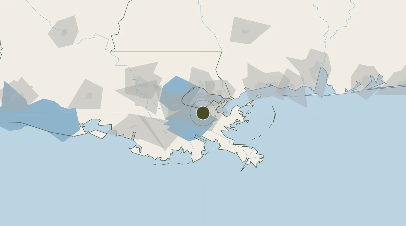
29.9371°, -90.0635°
1.9 km
Nearest port
12.2 km
Nearest airport

Gateway access

Nearest neighbours — logibook spatial index (haversine) over the source coordinates

Zone profile

Zone type
Foreign Trade Zone
Open Zone Map
Region
Louisiana
Open Zone Map
Status
Active
Open Zone Map
Management
Public
Open Zone Map
Operator
Port of New Orleans
Open Zone Map
Legal framework
Foreign-Trade Zones Act
Open Zone Map

Location

Location of ozm-4740
Natural Earth 10m (public domain) · Louisiana · ozm-4740 · 29.94, -90.06GoogleOSMYandex

Nearby Logistics Neighbours

Ports
  1. 1New Orleans2 km
  2. 2Gretna2 km
  3. 3St Rose24 km
  4. 4Destrehan29 km
  5. 5Slidell46 km
Nearest neighbours — logibook spatial index (haversine) over the source coordinates
Airports
  1. 1Lakefront Airport12 km
  2. 2New Orleans NAS JRB/Alvin Callender Field13 km
  3. 3Louis Armstrong New Orleans International Airport20 km
  4. 4Gulfport Biloxi International Airport109 km
  5. 5Keesler Air Force Base122 km
Nearest neighbours — logibook spatial index (haversine) over the source coordinates
Cities
  1. 1New Orleans4 km
  2. 2Marrero5 km
  3. 3Terrytown6 km
  4. 4Chalmette8 km
  5. 5Destrehan9 km
Nearest neighbours — logibook spatial index (haversine) over the source coordinates
Trade Zones
  1. 1FTZ No. 124 Gramercy64 km
  2. 2FTZ No. 092 Harrison County118 km
  3. 3FTZ No. 279 Terrebonne Parish121 km
  4. 4FTZ No. 154 Baton Rouge127 km
  5. 5FTZ No. 155 Calhoun Victoria Counties127 km
Nearest neighbours — logibook spatial index (haversine) over the source coordinates
DatabookThe Record of Consolidated Knowledge
United States beyond logistics?
Browse databook

All Sources

Trade ZonesOpen Zone Map
CC BY
Portsthe NGA World Port Index
Public domain (US gov)
AirportsOurAirports
Public domain
LocationsUN/LOCODE
UN/LOCODE — free
← United States trade zones