Seaport · United States
MilwaukeeUSMKE
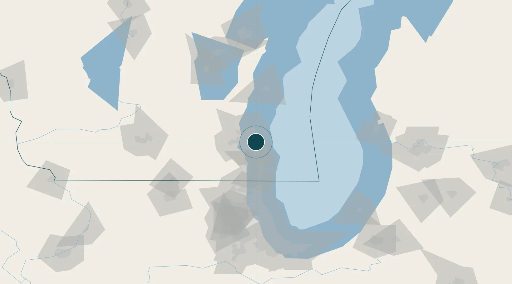
43.0333°, -87.8833°
6.4 m
Channel depth
12.9
Port liner connectivity
Channel & Berth Profile
Pilotage, Tugs & Services
Pilotage compulsoryYES
Tug assistanceYES
Salvage tugsYES
Shore powerYES
Potable waterYES
Diesel bunkersYES
MedicalYES
Garbage disposalYES
Facilities & Capabilities
Container—
Ro-Ro—
Liquid bulk—
Dry bulk—
Oil terminal—
Break bulk—
Dry dock—
RepairsNO
BunkeringYES
Rail linkYES
Dangerous cargo—
ISPS security—
Harbour Specifications
Harbour size
Medium
Harbour type
River (Natural)
Shelter
Excellent
Water body
Lake Michigan; Great Lakes
Overhead limit
Yes
Pilotage
Yes
Liner Connectivity
12.9
PLSCI
Port Liner Shipping Connectivity Index for Milwaukee, as published by UNCTAD for the latest available quarter. Higher values indicate stronger scheduled liner-shipping integration.
Shown relative to the highest per-port PLSCI in the dataset (1,657.9).
Location
Nearby Logistics Neighbours
Ports
- 1Racine34 km
- 2Port Washington39 km
- 3Kenosha50 km
- 4Waukegan74 km
- 5Sheboygan81 km
Cities
- 1West Allis10 km
- 2Fox Point15 km
- 3South Milwaukee15 km
- 4Bayside17 km
- 5Thiensville22 km
Airports
Trade Zones
- 1FTZ No. 041 Milwaukee18 km
- 2FTZ No. 292 Lake County79 km
- 3FTZ No. 019 Omaha97 km
- 4FTZ No. 189 Kent Ottawa/Muskegon Counties131 km
- 5FTZ No. 022 Chicago133 km
DatabookThe Record of Consolidated Knowledge
United States beyond logistics?