UN/LOCODE hub · United States
USMKE
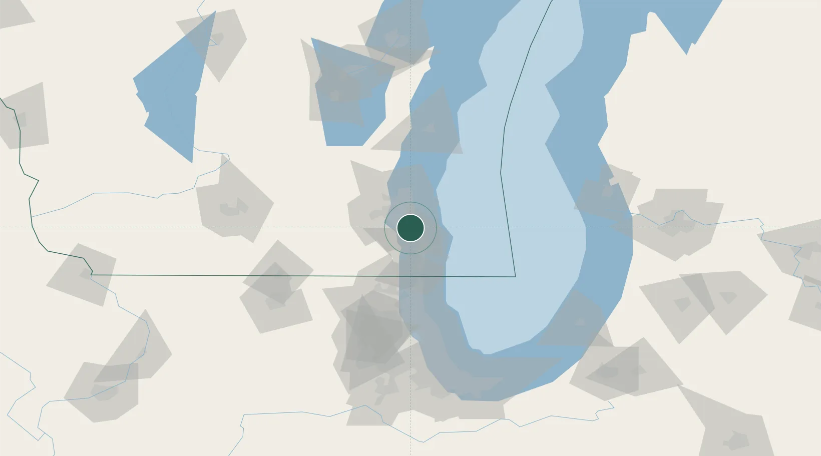
Milwaukee
42.9123°, -87.9145°
563,531
Population
2
Transport functions
Transport Functions
Port
Airport
Hub Profile
Place type
Provincial seat
Region
Wisconsin
Population
563,531
Time zone
America/Chicago
Elevation
188 m
Logistics facilities
8
Location
Nearby Logistics Neighbours
Cities
- 1South Milwaukee5 km
- 2Caledonia13 km
- 3West Allis14 km
- 4Raymond15 km
- 5Muskego18 km
Ports
- 1Racine23 km
- 2Kenosha37 km
- 3Port Washington53 km
- 4Waukegan61 km
- 5Great Lakes68 km
Airports
Trade Zones
- 1FTZ No. 041 Milwaukee23 km
- 2FTZ No. 292 Lake County66 km
- 3FTZ No. 019 Omaha104 km
- 4FTZ No. 022 Chicago120 km
- 5FTZ No. 176 Rockford129 km
DatabookThe Record of Consolidated Knowledge
United States beyond logistics?