Medium airport · United States
Dane County Regional Truax FieldKMSN
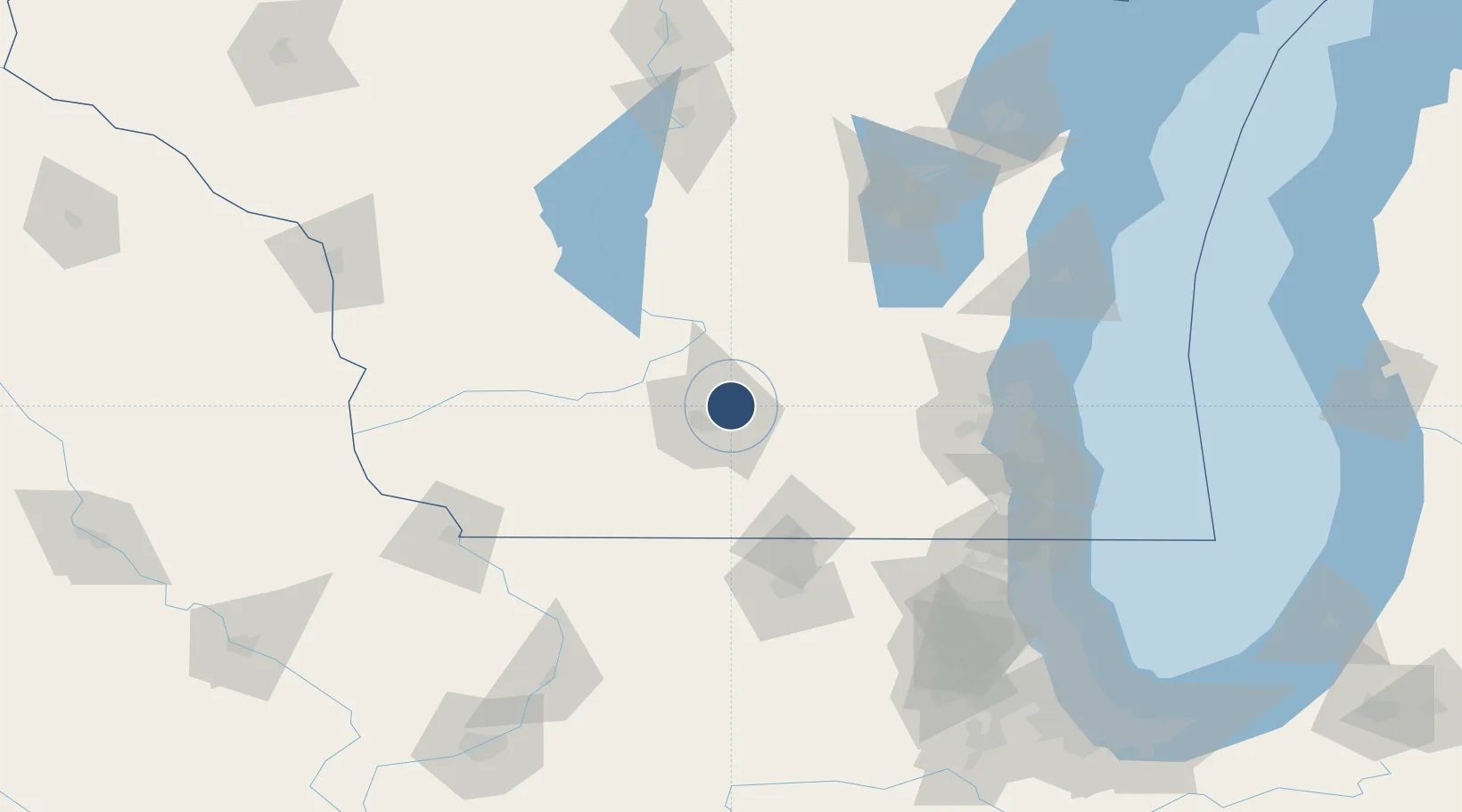
43.1399°, -89.3375°
9,006 ft
Longest runway
3
Runways
887 ft
Elevation
Runway & Layout

Radio Frequencies
ATIS
124.65 MHz
TWR
119.3 MHz
MADISON TWR
GND
121.9 MHz
MADISON GND
CLD
121.62 MHz
MADISON CLNC DEL
APP
120.1 MHz
MADISON APP
DEP
126.85 MHz
MADISON DEP
CTAF
119.3 MHz
MISC
40.8 MHz
ARNG OPS
OPS
138.25 MHz
ANG OPS
RDO
122.6 MHz
GREEN BAY RDO
UNIC
122.95 MHz
UNICOM
Navaids
MS NDB Monah 400 kHz
MSN VORTAC Madison 108.60 MHz
Runways · 3
| Runway | Dimensions | Surface | True heading | Lit |
|---|---|---|---|---|
| 18/36 | 9,006 × 150ft | Concrete | 182° | ✓ |
| 03/21 | 7,200 × 150ft | Concrete | 029° | ✓ |
| 14/32 | 5,846 × 150ft | Concrete | 137° | ✓ |
Airport Specifications
IATA code
MSN
ICAO code
KMSN
Airport class
Medium airport
Scheduled service
Yes
Runway surface
Concrete
Served city
Madison
Location
Nearby Logistics Neighbours
Airports
- 1Chicago Rockford International Airport107 km
- 2Wittman Regional Airport113 km
- 3Volk Field116 km
- 4General Mitchell International Airport119 km
- 5Kenosha Regional Airport130 km
Cities
- 1Maple Bluff4 km
- 2Cottage Grove14 km
- 3McFarland14 km
- 4Dane18 km
- 5Marshall22 km
Ports
- 1Milwaukee119 km
- 2Port Washington122 km
- 3Racine134 km
- 4Kenosha139 km
- 5Sheboygan149 km
Trade Zones
- 1FTZ No. 266 Dane County31 km
- 2FTZ No. 176 Rockford99 km
- 3FTZ No. 041 Milwaukee100 km
- 4FTZ No. 271 Jo-Daviess and Carroll Counties118 km
- 5FTZ No. 292 Lake County149 km
DatabookThe Record of Consolidated Knowledge
United States beyond logistics?