Channel & Berth Profile
Pilotage, Tugs & Services
Pilotage compulsoryYES
Tug assistanceNO
Salvage tugsNO
Potable waterYES
Diesel bunkersYES
MedicalYES
Facilities & Capabilities
Container—
Ro-Ro—
Liquid bulk—
Dry bulk—
Oil terminal—
Break bulk—
Dry dock—
RepairsNO
BunkeringYES
Rail link—
Dangerous cargo—
ISPS security—
Harbour Specifications
Harbour size
Small
Harbour type
Coastal (Breakwater)
Shelter
Fair
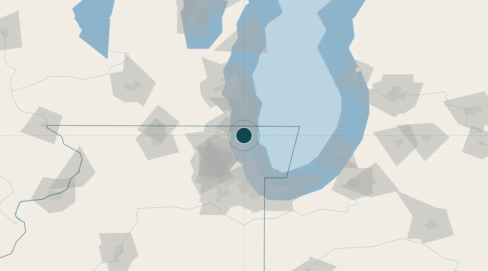
Water body
Lake Michigan; Great Lakes
Overhead limit
Yes
Pilotage
Yes
Location
Nearby Logistics Neighbours
Ports
- 1Great Lakes8 km
- 2Kenosha24 km
- 3Wilmette33 km
- 4Racine41 km
- 5Chicago57 km
Cities
- 1Green Oaks12 km
- 2Russell15 km
- 3Lindenhurst16 km
- 4Mettawa19 km
- 5Pleasant Prairie23 km
Airports
Trade Zones
- 1FTZ No. 292 Lake County8 km
- 2FTZ No. 022 Chicago59 km
- 3FTZ No. 041 Milwaukee80 km
- 4FTZ No. 152 Burns Harbor99 km
- 5FTZ No. 176 Rockford115 km
DatabookThe Record of Consolidated Knowledge
United States beyond logistics?