Foreign Trade Zone · United States

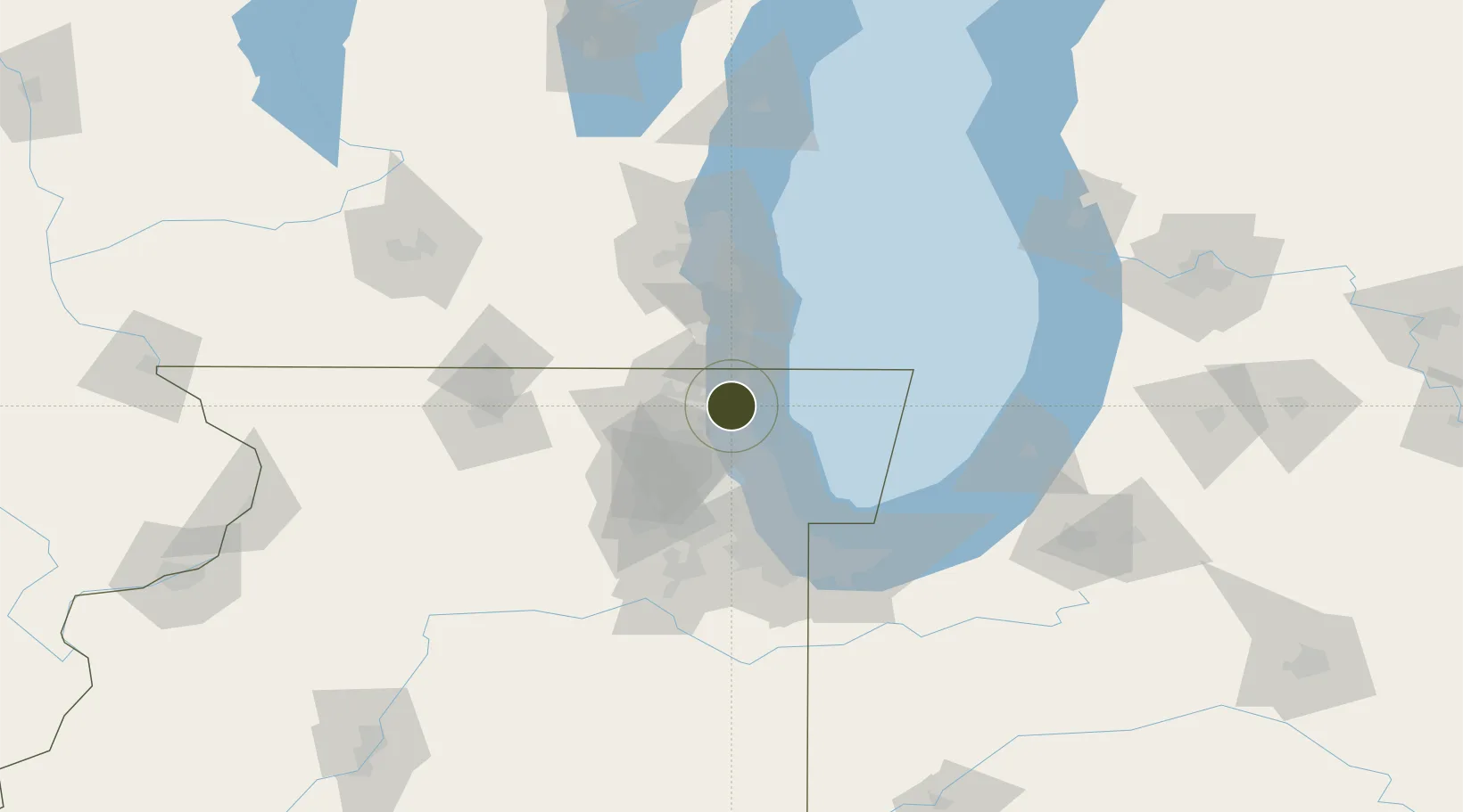
FTZ No. 292 Lake County Active

42.3222°, -87.8900°
818 ha
Zone area
5.3 km
Nearest port
23.1 km
Nearest airport

Gateway access

Nearest neighbours — logibook spatial index (haversine) over the source coordinates

Zone profile

Zone type
Foreign Trade Zone
Open Zone Map
Region
Illinois
Open Zone Map
Status
Active
Open Zone Map
Management
Public
Open Zone Map
Operator
City of Leesburg
Open Zone Map
Legal framework
Foreign-Trade Zones Act
Open Zone Map

Location

Location of ozm-4722
Natural Earth 10m (public domain) · Illinois · ozm-4722 · 42.32, -87.89GoogleOSMYandex

Nearby Logistics Neighbours

Ports
  1. 1Great Lakes5 km
  2. 2Waukegan8 km
  3. 3Kenosha30 km
  4. 4Wilmette32 km
  5. 5Racine47 km
Nearest neighbours — logibook spatial index (haversine) over the source coordinates
Airports
  1. 1Chicago Executive Airport23 km
  2. 2Kenosha Regional Airport31 km
  3. 3Chicago O'Hare International Airport38 km
  4. 4Dupage Airport55 km
  5. 5Chicago Midway International Airport61 km
Nearest neighbours — logibook spatial index (haversine) over the source coordinates
Cities
  1. 1Green Oaks4 km
  2. 2Waukegan6 km
  3. 3Mettawa12 km
  4. 4Lindenhurst13 km
  5. 5Fairfield18 km
Nearest neighbours — logibook spatial index (haversine) over the source coordinates
Trade Zones
  1. 1FTZ No. 022 Chicago54 km
  2. 2FTZ No. 041 Milwaukee84 km
  3. 3FTZ No. 152 Burns Harbor98 km
  4. 4FTZ No. 176 Rockford109 km
  5. 5FTZ No. 019 Omaha143 km
Nearest neighbours — logibook spatial index (haversine) over the source coordinates
DatabookThe Record of Consolidated Knowledge
United States beyond logistics?
Browse databook

All Sources

Trade ZonesOpen Zone Map
CC BY
Portsthe NGA World Port Index
Public domain (US gov)
AirportsOurAirports
Public domain
LocationsUN/LOCODE
UN/LOCODE — free
← United States trade zones