Foreign Trade Zone · United States

FTZ No. 019 Omaha Active
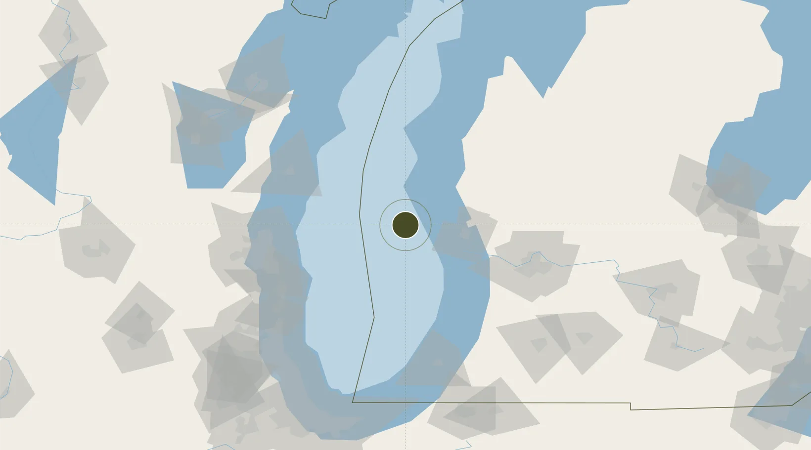
43.2952°, -86.7490°
33.7 km
Nearest port
43.7 km
Nearest airport

Gateway access

Nearest neighbours — logibook spatial index (haversine) over the source coordinates

Zone profile

Zone type
Foreign Trade Zone
Open Zone Map
Region
Michigan
Open Zone Map
Status
Active
Open Zone Map
Management
Public-Private Partnership
Open Zone Map
Operator
Greater Omaha Chamber of Commerce
Open Zone Map
Legal framework
Foreign-Trade Zones Act
Open Zone Map

Location

Location of ozm-4908
Natural Earth 10m (public domain) · Michigan · ozm-4908 · 43.30, -86.75GoogleOSMYandex

Nearby Logistics Neighbours

Ports
  1. 1White Lake34 km
  2. 2Muskegon40 km
  3. 3Grand Haven49 km
  4. 4Holland76 km
  5. 5Ludington77 km
Nearest neighbours — logibook spatial index (haversine) over the source coordinates
Airports
  1. 1Muskegon County Airport44 km
  2. 2General Mitchell International Airport101 km
  3. 3Gerald R. Ford International Airport110 km
  4. 4Manistee County Blacker Airport116 km
  5. 5Kenosha Regional Airport124 km
Nearest neighbours — logibook spatial index (haversine) over the source coordinates
Cities
  1. 1Rothbury40 km
  2. 2Muskegon43 km
  3. 3Norton Shores44 km
  4. 4New Era44 km
  5. 5Shelby46 km
Nearest neighbours — logibook spatial index (haversine) over the source coordinates
Trade Zones
  1. 1FTZ No. 189 Kent Ottawa/Muskegon Counties38 km
  2. 2FTZ No. 041 Milwaukee113 km
  3. 3FTZ No. 292 Lake County143 km
  4. 4FTZ No. 043 Battle Creek160 km
  5. 5FTZ No. 101 Clinton County168 km
Nearest neighbours — logibook spatial index (haversine) over the source coordinates
DatabookThe Record of Consolidated Knowledge
United States beyond logistics?
Browse databook

All Sources

Trade ZonesOpen Zone Map
CC BY
Portsthe NGA World Port Index
Public domain (US gov)
AirportsOurAirports
Public domain
LocationsUN/LOCODE
UN/LOCODE — free
← United States trade zones