Channel & Berth Profile
Pilotage, Tugs & Services
Pilotage compulsoryYES
Tug assistanceYES
Potable waterYES
Diesel bunkersYES
MedicalYES
Facilities & Capabilities
Container—
Ro-Ro—
Liquid bulk—
Dry bulk—
Oil terminal—
Break bulk—
Dry dock—
RepairsNO
BunkeringYES
Rail link—
Dangerous cargo—
ISPS security—
Harbour Specifications
Harbour size
Small
Harbour type
Coastal (Breakwater)
Shelter
Fair
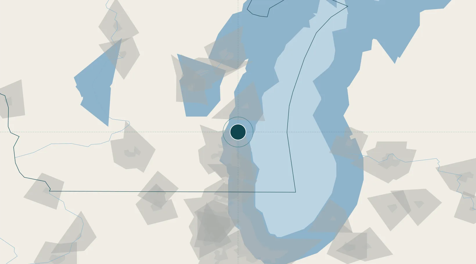
Water body
Lake Michigan; Great Lakes
Overhead limit
Yes
Pilotage
Yes
Location
Nearby Logistics Neighbours
Ports
- 1Milwaukee39 km
- 2Sheboygan43 km
- 3Racine73 km
- 4Manitowoc81 km
- 5Two Rivers89 km
Cities
- 1Saukville7 km
- 2Thiensville20 km
- 3Bayside22 km
- 4Fox Point24 km
- 5Oostburg27 km
Airports
Trade Zones
- 1FTZ No. 041 Milwaukee41 km
- 2FTZ No. 019 Omaha91 km
- 3FTZ No. 292 Lake County118 km
- 4FTZ No. 167 Brown County124 km
- 5FTZ No. 189 Kent Ottawa/Muskegon Counties129 km
DatabookThe Record of Consolidated Knowledge
United States beyond logistics?