UN/LOCODE hub · United States
USMK6
South Milwaukee
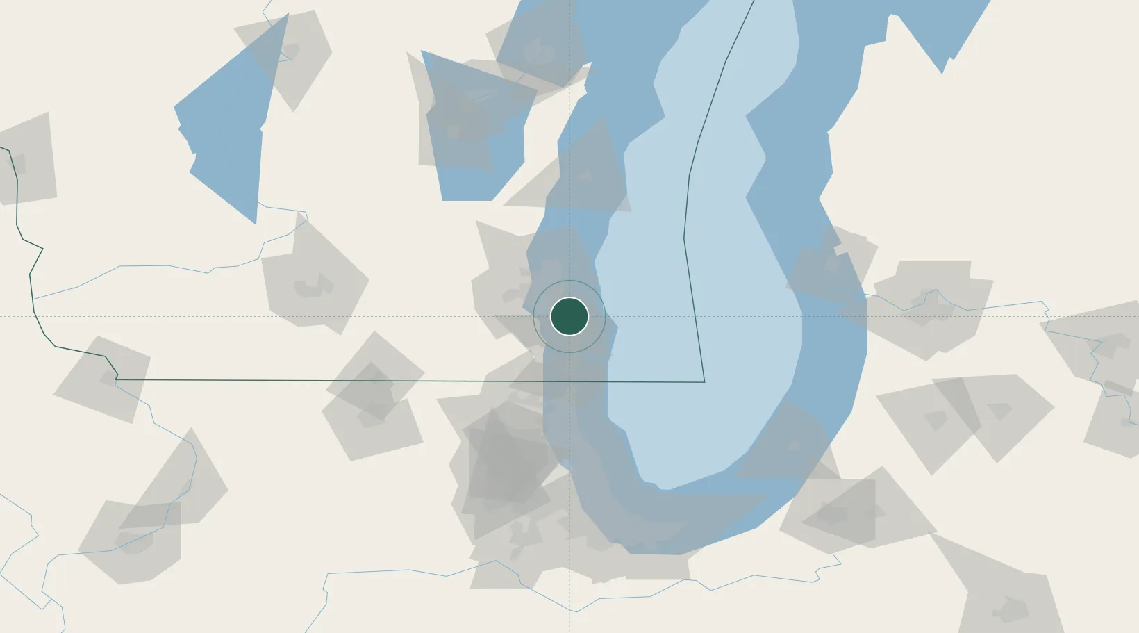
42.9000°, -87.8500°
21,233
Population
1
Transport functions
Transport Functions
Multimodal
Hub Profile
Place type
Populated place
Region
Wisconsin
Population
21,233
Time zone
America/Chicago
Elevation
204 m
Location
Nearby Logistics Neighbours
Cities
- 1Milwaukee5 km
- 2Caledonia12 km
- 3Raymond18 km
- 4West Allis18 km
- 5Muskego23 km
Ports
- 1Milwaukee15 km
- 2Racine19 km
- 3Kenosha35 km
- 4Port Washington54 km
- 5Waukegan59 km
Airports
Trade Zones
- 1FTZ No. 041 Milwaukee27 km
- 2FTZ No. 292 Lake County64 km
- 3FTZ No. 019 Omaha100 km
- 4FTZ No. 022 Chicago119 km
- 5FTZ No. 189 Kent Ottawa/Muskegon Counties132 km
DatabookThe Record of Consolidated Knowledge
United States beyond logistics?