Channel & Berth Profile
Pilotage, Tugs & Services
Pilotage compulsoryYES
Tug assistanceYES
Salvage tugsNO
Shore powerYES
Potable waterYES
Diesel bunkersYES
MedicalYES
Facilities & Capabilities
Container—
Ro-Ro—
Liquid bulk—
Dry bulk—
Oil terminal—
Break bulk—
Dry dock—
RepairsNO
BunkeringYES
Rail linkYES
Dangerous cargo—
ISPS security—
Harbour Specifications
Harbour size
Small
Harbour type
River (Natural)
Shelter
Fair
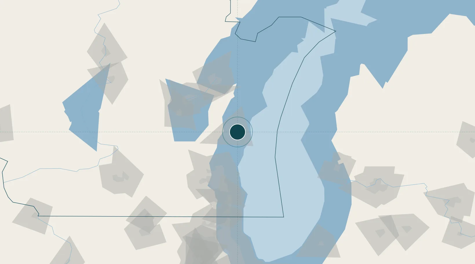
Water body
Lake Michigan; Great Lakes
Overhead limit
Yes
Pilotage
Yes
Location
Nearby Logistics Neighbours
Ports
- 1Manitowoc38 km
- 2Port Washington43 km
- 3Two Rivers46 km
- 4Kaukauna75 km
- 5Milwaukee81 km
Airports
Trade Zones
- 1FTZ No. 041 Milwaukee84 km
- 2FTZ No. 167 Brown County92 km
- 3FTZ No. 019 Omaha92 km
- 4FTZ No. 189 Kent Ottawa/Muskegon Counties127 km
- 5FTZ No. 292 Lake County160 km
DatabookThe Record of Consolidated Knowledge
United States beyond logistics?