Medium airport · United States
Chicago Executive AirportKPWK
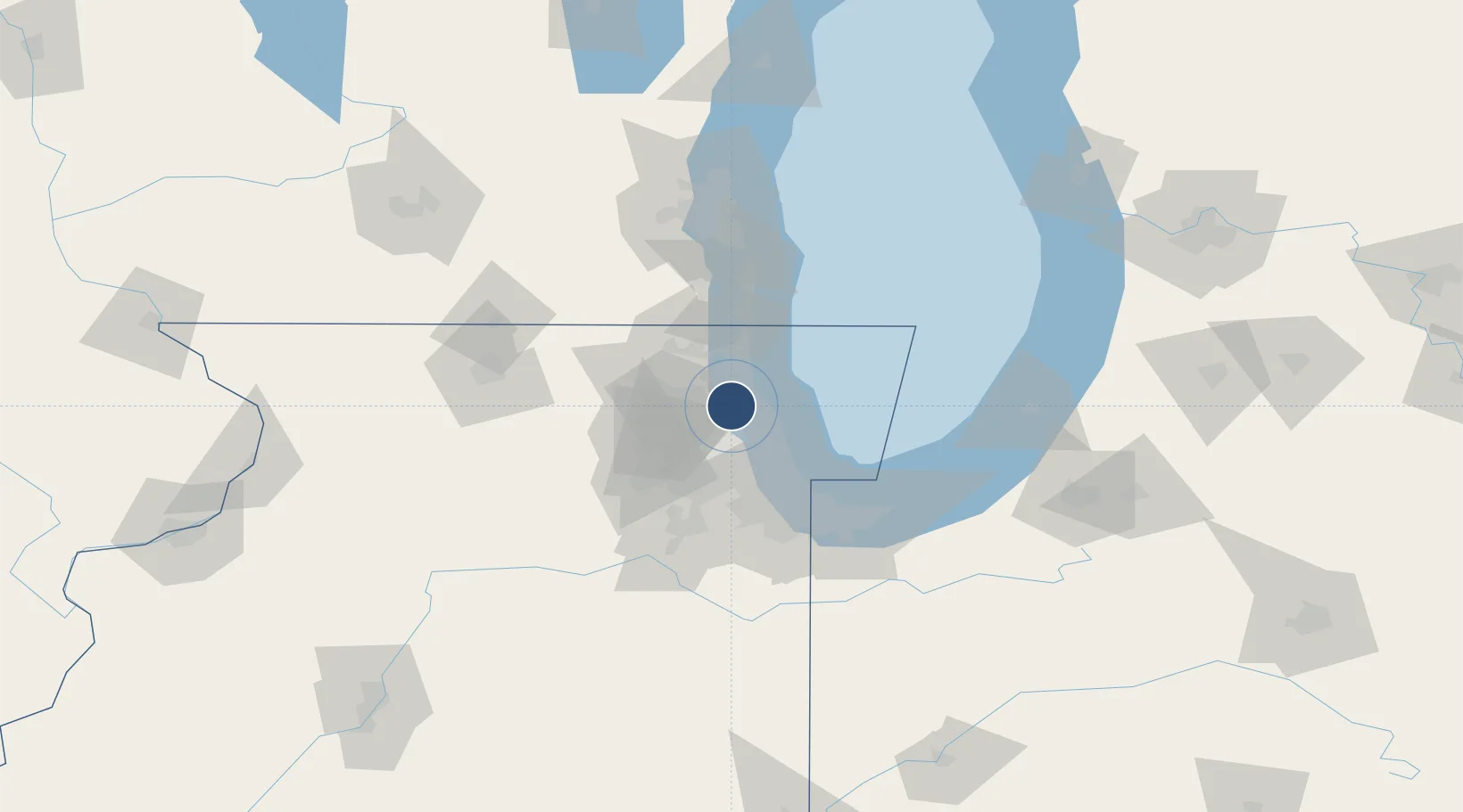
42.1142°, -87.9015°
5,001 ft
Longest runway
3
Runways
647 ft
Elevation
Runway & Layout

Radio Frequencies
ATIS
124.2 MHz
TWR
119.9 MHz
GND
121.7 MHz
CLD
124.7 MHz
CLNC DEL
CTAF
119.9 MHz
A/D
120.55 MHz
CHICAGO APP/DEP
UNIC
122.95 MHz
UNICOM
Runways · 3
| Runway | Dimensions | Surface | True heading | Lit |
|---|---|---|---|---|
| 16/34 | 5,001 × 150ft | Asphalt | 159° | ✓ |
| 12/30 | 4,415 × 75ft | Asphalt | 118° | ✓ |
| 06/24 | 3,677 × 50ft | Asphalt | 063° | ✓ |
Airport Specifications
IATA code
PWK
ICAO code
KPWK
Airport class
Medium airport
Scheduled service
No
Runway surface
Asphalt
Served city
Chicago/Prospect Heights/Wheeling
Location
Nearby Logistics Neighbours
Airports
Cities
- 1Park Ridge10 km
- 2Mettawa12 km
- 3Kildeer12 km
- 4Glencoe13 km
- 5Winnetka14 km
Ports
- 1Wilmette18 km
- 2Great Lakes21 km
- 3Waukegan29 km
- 4Chicago36 km
- 5Kenosha53 km
Trade Zones
- 1FTZ No. 292 Lake County23 km
- 2FTZ No. 022 Chicago31 km
- 3FTZ No. 152 Burns Harbor82 km
- 4FTZ No. 041 Milwaukee106 km
- 5FTZ No. 176 Rockford109 km
DatabookThe Record of Consolidated Knowledge
United States beyond logistics?